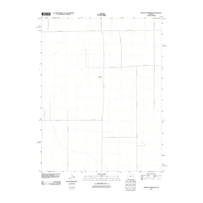
2010 Map of North of Brandon
USGS Topo · Published 2010About this map
Big Sandy Creek winds through the western edge of this agricultural landscape in Cheyenne County, providing a natural break in the otherwise rigid grid of the High Plains. The area is defined by its vast network of section roads, including County Road A and County Road W, which facilitate the region's ranching and farming operations. A notable landmark for regional aviation and land management is the Scherler Airstrip, situated near the center of the quadrangle along County Rd 59. This survey illustrates the specialized infrastructure of a modern rural environment, where primary corridors like County Hwy 40 connect isolated homesteads and aviation facilities to the wider region.
Find a feature on this map
14 named features on this map. Tap any name to fly to it.
Don’t see what you’re looking for? This feature index may not catch every label — zoom into the map to look around manually.
Map Details
Editions of this 2010 North of Brandon Map
This is the sole edition of this map. No revisions or reprints were ever made.
Other maps of this area

1890 · Granada
USGS Topo · 1:125,000

1891 · Kit Carson
USGS Topo · 1:125,000

1892 · Lamar
USGS Topo · 1:125,000

1892 · Cheyenne Wells
USGS Topo · 1:125,000

1892 · Granada
USGS Topo · 1:125,000

1893 · Kit Carson
USGS Topo · 1:125,000

1894 · Cheyenne Wells
USGS Topo · 1:125,000

1894 · Granada
USGS Topo · 1:125,000

1954 · Lamar
USGS Topo · 1:250,000

1958 · Lamar
USGS Topo · 1:250,000