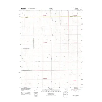
2013 Map of North of Brandon
USGS Topo · Published 2013About this map
The Sand Creek Massacre National Historic Site dominates the western portion of this landscape, marking a site of immense historical significance within the high plains of eastern Colorado. This 2013 survey reflects a terrain defined by the rigid geometry of the Public Land Survey System, with expansive townships such as t017s r045w and t017s r044w partitioned by a grid of rural routes. The infrastructure is characterized by long, straight sections of local roads like Co Road 59 and Co Road Z, which support the agricultural and ranching operations of the region. A localized center of activity is noted at the Scherler Private Airstrip near the center of the sheet, providing a modern transport link in a remote area otherwise served by the county road network. The map captures the meeting of Cheyenne County and Kiowa County, highlighting how political and property boundaries shaped the development of this prairie environment.
Find a feature on this map
21 named features on this map. Tap any name to fly to it.
Don’t see what you’re looking for? This feature index may not catch every label — zoom into the map to look around manually.
Map Details
Editions of this 2013 North of Brandon Map
This is the sole edition of this map. No revisions or reprints were ever made.
Other maps of this area
1890 · Granada
USGS Topo · 1:125,000
1891 · Kit Carson
USGS Topo · 1:125,000
1892 · Lamar
USGS Topo · 1:125,000
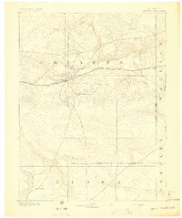
1892 · Cheyenne Wells
USGS Topo · 1:125,000
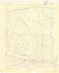
1892 · Granada
USGS Topo · 1:125,000
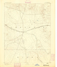
1893 · Kit Carson
USGS Topo · 1:125,000
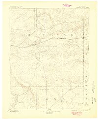
1894 · Cheyenne Wells
USGS Topo · 1:125,000
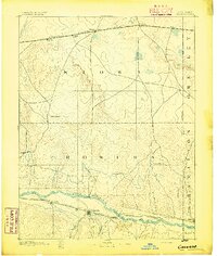
1894 · Granada
USGS Topo · 1:125,000

1954 · Lamar
USGS Topo · 1:250,000

1958 · Lamar
USGS Topo · 1:250,000