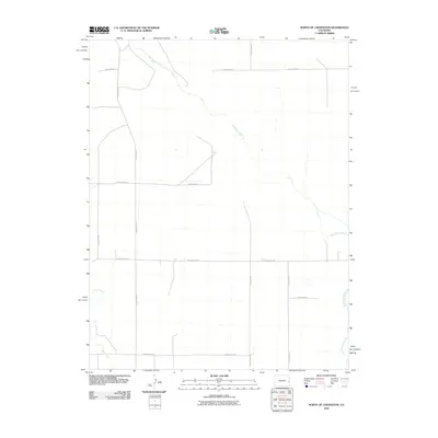
2010 Map of North of Chivington
USGS Topo · Published 2010About this map
Big Sandy Creek meanders diagonally across this High Plains landscape in Cheyenne County, defining the primary drainage pattern of the region. The terrain is characterized by a sparse, grid-like network of rural transit routes, including County Road A and County Road W, which reveal the section-line organization of the Colorado prairie. In the southwestern corner, the drainage of Rush Creek appears, marking another significant seasonal watercourse. This 2010 survey by the U.S. Geological Survey captures the area during a period of modern land management, where the intersection of water and roadway—such as where the creek passes near County Rd 34—dictates the placement of local infrastructure. The map is a testament to the wide-open geography of eastern Colorado, where named features are largely tied to these vital water systems and the surveyed roads that connect the surrounding ranchland.
Find a feature on this map
12 named features on this map. Tap any name to fly to it.
Don’t see what you’re looking for? This feature index may not catch every label — zoom into the map to look around manually.
Map Details
Editions of this 2010 North of Chivington Map
This is the sole edition of this map. No revisions or reprints were ever made.
Other maps of this area

1890 · Granada
USGS Topo · 1:125,000

1891 · Kit Carson
USGS Topo · 1:125,000

1892 · Lamar
USGS Topo · 1:125,000

1892 · Cheyenne Wells
USGS Topo · 1:125,000

1892 · Granada
USGS Topo · 1:125,000

1893 · Kit Carson
USGS Topo · 1:125,000

1894 · Cheyenne Wells
USGS Topo · 1:125,000

1894 · Granada
USGS Topo · 1:125,000

1954 · Lamar
USGS Topo · 1:250,000

1958 · Lamar
USGS Topo · 1:250,000