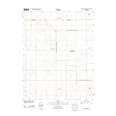
2013 Map of North of Chivington
USGS Topo · Published 2013About this map
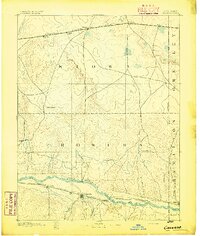
Sand Creek Massacre National Historic Site occupies a significant portion of this High Plains landscape, preserving the location of the 1864 conflict. The terrain is defined by the winding course of Big Sandy Cr, which meanders southeast across the township lines. This section of the eastern Colorado prairie remains largely open and rural, structured by a grid of county roads including Co Road A at the northern boundary and Co Road W further south. The meeting of Cheyenne and Kiowa counties is marked along the northern edge of the survey, where the seasonal waters of Rush Cr also appear in the southwest corner. The map provides a precise look at the modern boundaries and topography surrounding this site of national significance.
Find a feature on this map
19 named features on this map. Tap any name to fly to it.
Don’t see what you’re looking for? This feature index may not catch every label — zoom into the map to look around manually.
Map Details
Editions of this 2013 North of Chivington Map
This is the sole edition of this map. No revisions or reprints were ever made.
Other maps of this area
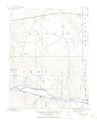
1890 · Granada
USGS Topo · 1:125,000
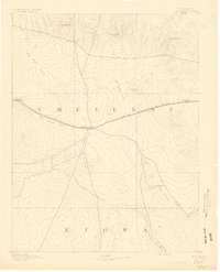
1891 · Kit Carson
USGS Topo · 1:125,000
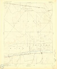
1892 · Lamar
USGS Topo · 1:125,000
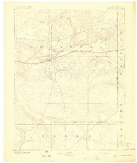
1892 · Cheyenne Wells
USGS Topo · 1:125,000
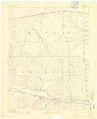
1892 · Granada
USGS Topo · 1:125,000
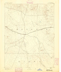
1893 · Kit Carson
USGS Topo · 1:125,000
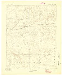
1894 · Cheyenne Wells
USGS Topo · 1:125,000
1894 · Granada
USGS Topo · 1:125,000

1954 · Lamar
USGS Topo · 1:250,000

1958 · Lamar
USGS Topo · 1:250,000