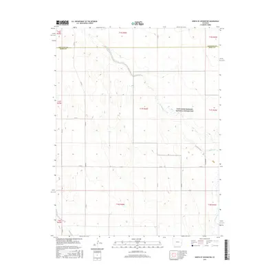
2016 Map of North of Chivington
USGS Topo · Published 2016About this map
Sand Creek Massacre National Historic Site occupies a significant portion of this high plains landscape, preserving a location of profound national remembrance. The topography is defined by the ephemeral path of Big Sandy Cr, which meanders through the eastern half of the quadrangle. An Interpretive Trail and Monument Rd provide access to the site's interior, where the high prairie terrain remains largely undeveloped except for a sparse grid of section-line roads like Co Rd 50 and Co Rd W. The boundary between Cheyenne County and Kiowa County cuts horizontally across the northern section, marking a jurisdictional divide in an otherwise open ranching and conservation environment. This modern survey reflects the area's transition from a site of nineteenth-century conflict to one of contemporary historical preservation and reflection.
Find a feature on this map
23 named features on this map. Tap any name to fly to it.
Don’t see what you’re looking for? This feature index may not catch every label — zoom into the map to look around manually.
Map Details
Editions of this 2016 North of Chivington Map
This is the sole edition of this map. No revisions or reprints were ever made.
Other maps of this area
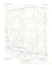
1890 · Granada
USGS Topo · 1:125,000
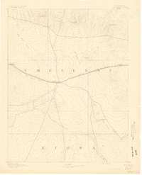
1891 · Kit Carson
USGS Topo · 1:125,000
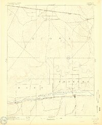
1892 · Lamar
USGS Topo · 1:125,000
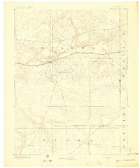
1892 · Cheyenne Wells
USGS Topo · 1:125,000
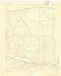
1892 · Granada
USGS Topo · 1:125,000
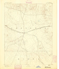
1893 · Kit Carson
USGS Topo · 1:125,000
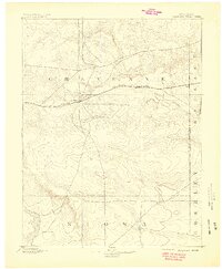
1894 · Cheyenne Wells
USGS Topo · 1:125,000
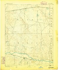
1894 · Granada
USGS Topo · 1:125,000

1954 · Lamar
USGS Topo · 1:250,000

1958 · Lamar
USGS Topo · 1:250,000