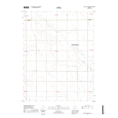
2019 Map of North of Chivington
USGS Topo · Published 2019About this map
Sand Creek Massacre National Historic Site dominates the central-eastern portion of this landscape, marking a site of immense historical significance within the High Plains. The ephemeral course of Big Sandy Creek winds northwest to southeast across the terrain, its dry bed and surrounding basin providing the primary geographic relief in an otherwise expansive grid of section lines. This area, straddling the boundary between Cheyenne County and Kiowa County, reflects a modern landscape primarily defined by remote section roads like Co Rd 50 and Co Rd W. The presence of the Park Trail and Monument Rd near the historic site indicates the dedicated access routes for those visiting the commemorative grounds. The land is sparsely developed, characterized by the traditional Public Land Survey System divisions that have organized this part of eastern Colorado for over a century.
Find a feature on this map
22 named features on this map. Tap any name to fly to it.
Don’t see what you’re looking for? This feature index may not catch every label — zoom into the map to look around manually.
Map Details
Editions of this 2019 North of Chivington Map
This is the sole edition of this map. No revisions or reprints were ever made.
Other maps of this area
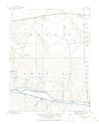
1890 · Granada
USGS Topo · 1:125,000
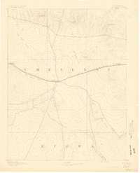
1891 · Kit Carson
USGS Topo · 1:125,000
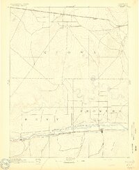
1892 · Lamar
USGS Topo · 1:125,000
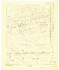
1892 · Cheyenne Wells
USGS Topo · 1:125,000
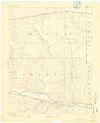
1892 · Granada
USGS Topo · 1:125,000
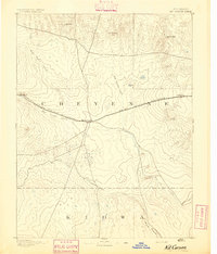
1893 · Kit Carson
USGS Topo · 1:125,000
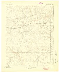
1894 · Cheyenne Wells
USGS Topo · 1:125,000
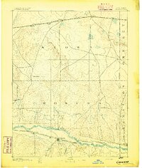
1894 · Granada
USGS Topo · 1:125,000

1954 · Lamar
USGS Topo · 1:250,000

1958 · Lamar
USGS Topo · 1:250,000