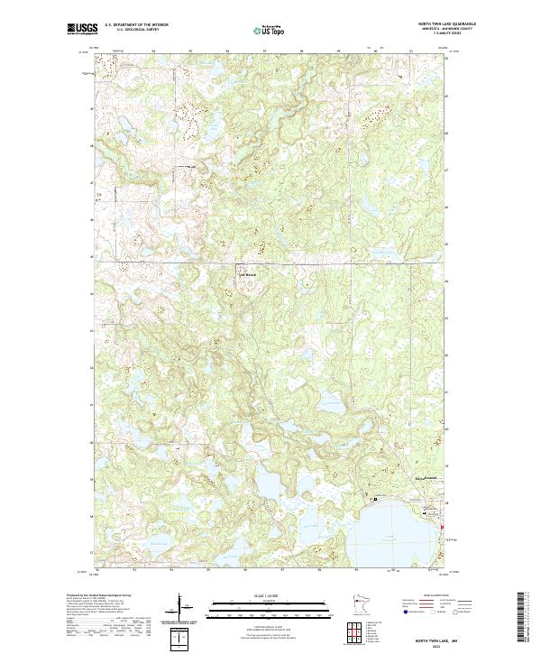
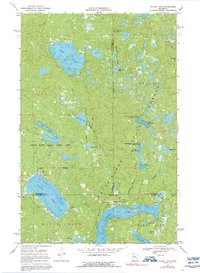
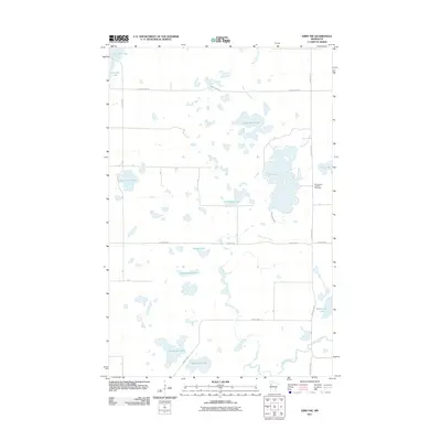
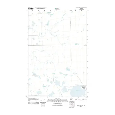
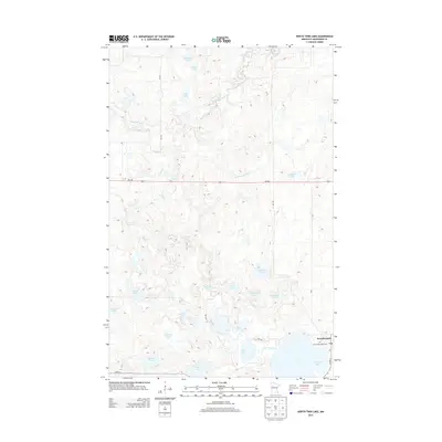
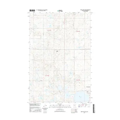
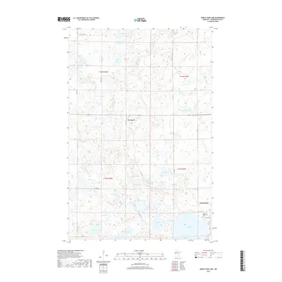
2022 Map of North Twin Lake
USGS Topo · Published 2022About this map
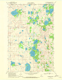
Naytahwaush sits at the intersection of several regional roads in this north-central Minnesota landscape, anchored by the waters of North Twin Lake. The settlement serves as a focal point for the surrounding area, which is characterized by an intricate network of wetlands and glacial lakes. The local cemetery sites, Samuel Memorial Cem and Indian Cem, are positioned near the town, providing clear landmarks for those researching the community's heritage.
Find a feature on this map
38 named features on this map. Tap any name to fly to it.
Don’t see what you’re looking for? This feature index may not catch every label — zoom into the map to look around manually.
Map Details
Editions of this 2022 North Twin Lake Map
This is the sole edition of this map. No revisions or reprints were ever made.
Historical Maps of Naytahwaush Through Time
55 maps found

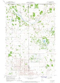
1966 Faith
Mahnomen County, MN
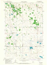
1966 Faith NE
Mahnomen County, MN
1966 Flom NE
Mahnomen County, MN
1969 Ebro NW
Mahnomen County, MN
1969 Mahnomen NE
Mahnomen County, MN
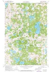
1969 North Twin Lake
Mahnomen County, MN
1969 Ogema NE
Mahnomen County, MN
1969 Snider Lake
Mahnomen County, MN
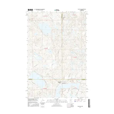
1969 Tulaby Lake
Mahnomen County, MN
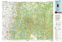
1985 Lake Itasca
Mahnomen County, MN
2010 Mahnomen NE
Mahnomen County, MN
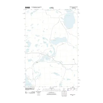
2010 Snider Lake
Mahnomen County, MN
2011 Ebro NW
Mahnomen County, MN
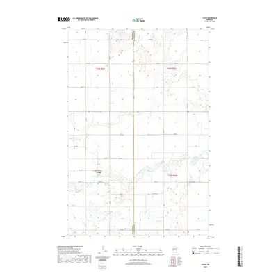
2011 Faith
Mahnomen County, MN
2011 Faith NE
Mahnomen County, MN
2011 Flom NE
Mahnomen County, MN
2011 North Twin Lake
Mahnomen County, MN
2011 Ogema NE
Mahnomen County, MN
2011 Tulaby Lake
Mahnomen County, MN
2013 Ebro NW
Mahnomen County, MN
2013 Faith
Mahnomen County, MN
2013 Faith NE
Mahnomen County, MN
2013 Flom NE
Mahnomen County, MN
2013 Mahnomen NE
Mahnomen County, MN
2013 North Twin Lake
Mahnomen County, MN
2013 Ogema NE
Mahnomen County, MN
2013 Snider Lake
Mahnomen County, MN
2013 Tulaby Lake
Mahnomen County, MN
2016 Ebro NW
Mahnomen County, MN
2016 Faith
Mahnomen County, MN
2016 Faith NE
Mahnomen County, MN
2016 Flom NE
Mahnomen County, MN
2016 Mahnomen NE
Mahnomen County, MN
2016 North Twin Lake
Mahnomen County, MN
2016 Ogema NE
Mahnomen County, MN
2016 Snider Lake
Mahnomen County, MN
2016 Tulaby Lake
Mahnomen County, MN
2019 Ebro NW
Mahnomen County, MN
2019 Faith
Mahnomen County, MN
2019 Faith NE
Mahnomen County, MN
2019 Flom NE
Mahnomen County, MN
2019 Mahnomen NE
Mahnomen County, MN
2019 North Twin Lake
Mahnomen County, MN
2019 Ogema NE
Mahnomen County, MN
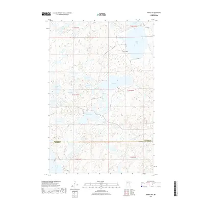
2019 Snider Lake
Mahnomen County, MN
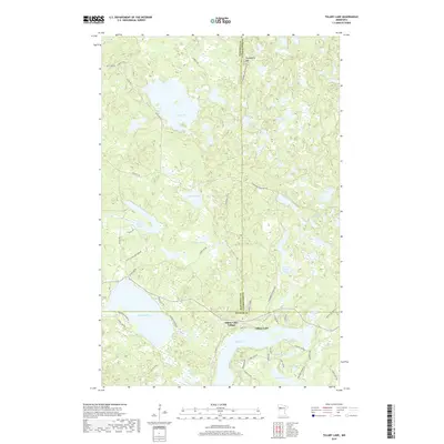
2019 Tulaby Lake
Mahnomen County, MN
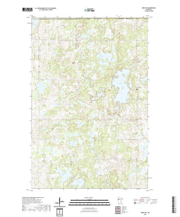
2022 Ebro NW
Mahnomen County, MN
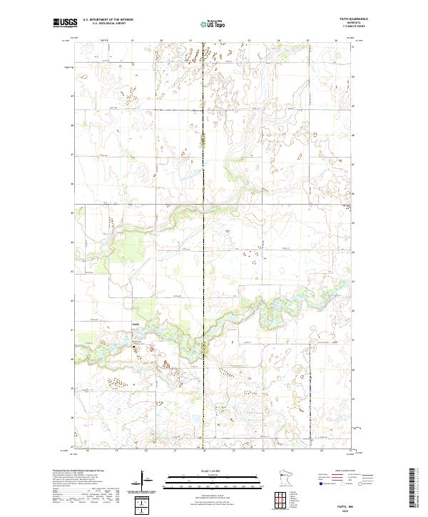
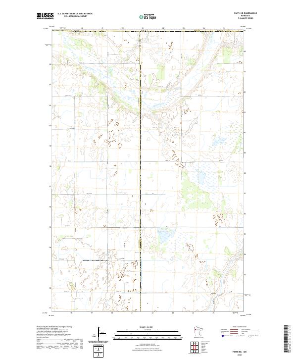
2022 Faith
Mahnomen County, MN
2022 Faith NE
Mahnomen County, MN
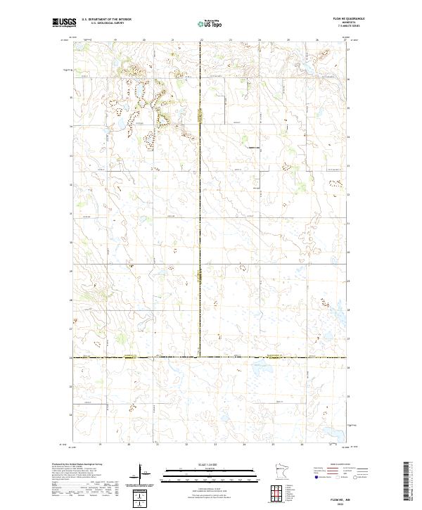
2022 Flom NE
Mahnomen County, MN
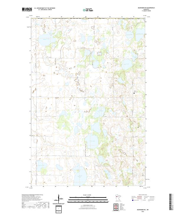
2022 Mahnomen NE
Mahnomen County, MN
2022 North Twin Lake
Mahnomen County, MN
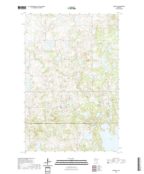
2022 Ogema NE
Mahnomen County, MN
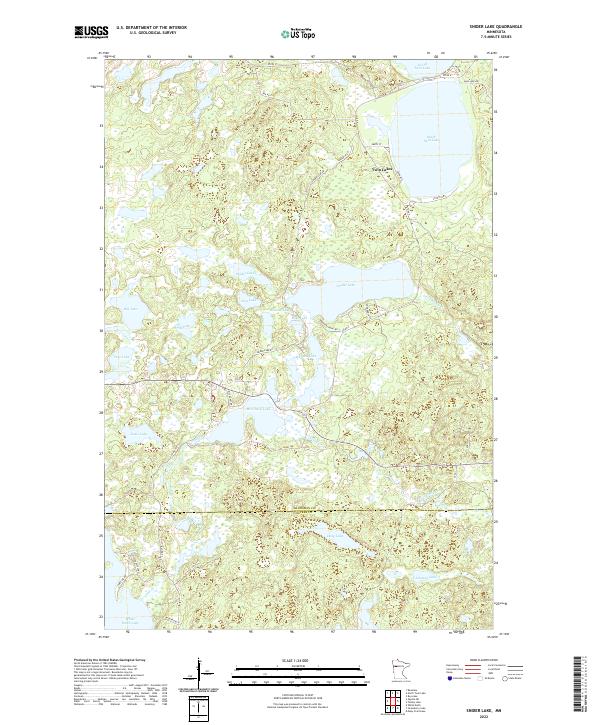
2022 Snider Lake
Mahnomen County, MN
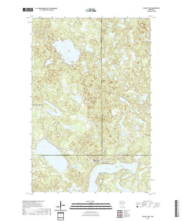
2022 Tulaby Lake
Mahnomen County, MN