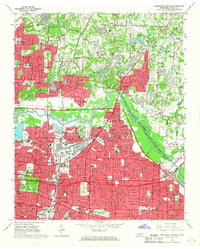
1965 Map of Northeast Memphis
USGS Topo · Published 1967About this map
Memphis expands across the landscape in the mid-1960s, showing a dense grid of residential growth and academic institutions. Educational hubs like Southwestern at Memphis College, Christian Brothers College, and Memphis Baptist College anchor the city's intellectual life, while Overton Park and Galloway Park preserve green space amidst the urban spread. The Wolf River and Cypress Creek wind through the terrain, separated by major transit corridors including the Illinois Central and Louisville and Nashville railroads.
Find a feature on this map
69 named features on this map. Tap any name to fly to it.
Don’t see what you’re looking for? This feature index may not catch every label — zoom into the map to look around manually.
Map Details
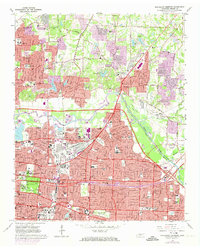
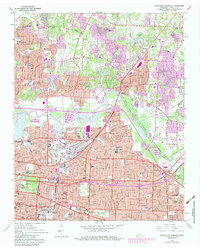
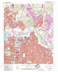
Editions of this 1965 Northeast Memphis Map
4 editions found
Other maps of this area

1916 · Memphis
USGS Topo · 1:62,500

1925 · Memphis
USGS Topo · 1:48,000

1927 · Memphis
USGS Topo · 1:62,500

1931 · Jericho
USGS Topo · 1:62,500

1939 · Jericho
USGS Topo · 1:62,500

1939 · Memphis
USGS Topo · 1:62,500

1942 · Millington
USGS Topo · 1:62,500

1952 · Jericho
USGS Topo · 1:62,500

1953 · Memphis
USGS Topo · 1:250,000

1955 · Memphis
USGS Topo · 1:62,500