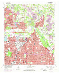
1965 Map of Northeast Memphis
USGS Topo · Published 1974About this map
The Wolf River winds through this 1965 survey of northeastern Shelby County, illustrating the post-war urban expansion beyond the traditional limits of Memphis. The map captures a mix of established residential neighborhoods and emerging developments like Raleigh and Egypt, where older landmarks such as Raleigh Cem sit near modern features like Frayser Plaza Shopping Center. Notable educational and cultural institutions anchor the landscape, including Southwestern at Memphis College, Christian Brothers College, and the Brooks Memorial Art Gallery within Overton Park.
Find a feature on this map
102 named features on this map. Tap any name to fly to it.
Don’t see what you’re looking for? This feature index may not catch every label — zoom into the map to look around manually.
Map Details
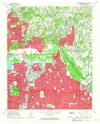
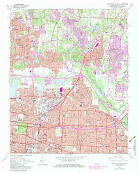
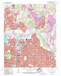
Editions of this 1965 Northeast Memphis Map
4 editions found
Other maps of this area

1916 · Memphis
USGS Topo · 1:62,500

1925 · Memphis
USGS Topo · 1:48,000

1927 · Memphis
USGS Topo · 1:62,500

1931 · Jericho
USGS Topo · 1:62,500

1939 · Jericho
USGS Topo · 1:62,500

1939 · Memphis
USGS Topo · 1:62,500

1942 · Millington
USGS Topo · 1:62,500

1952 · Jericho
USGS Topo · 1:62,500

1953 · Memphis
USGS Topo · 1:250,000

1955 · Memphis
USGS Topo · 1:62,500