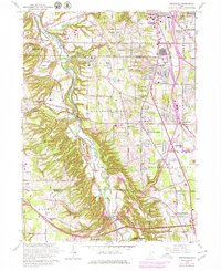
1963 Map of Northfield
USGS Topo · Published 1979About this map
The Cuyahoga River carves a deep valley through this portion of northeast Ohio, serving as a corridor for the Baltimore and Ohio railroad and preserving significant green space within the Brecksville Reservation. By the early 1960s, the surrounding uplands show the rapid expansion of suburban communities like Northfield and Macedonia, yet the map retains traces of an earlier institutional and rural character. Notable complexes like Hawthornden State Hospital and Sagamore Hills Hospital occupy large tracts near the river bluffs, while the small settlement of Jaite and various Gravel Pits indicate localized industry. The landscape is further defined by the transition from steam-era rail to the modern Ohio Turnpike, which cuts across the southern portion of the quadrangle near Boston Heights. Geographers and local historians can observe the dense network of schools and cemeteries, including the All Saints Cemetery, that serve these growing residential hubs.
Find a feature on this map
68 named features on this map. Tap any name to fly to it.
Don’t see what you’re looking for? This feature index may not catch every label — zoom into the map to look around manually.
Map Details
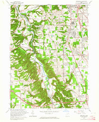
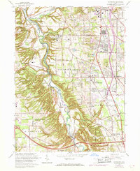
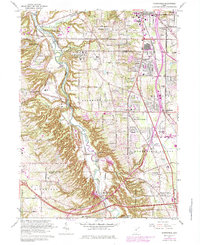
Editions of this 1963 Northfield Map
4 editions found
Other maps of this area

1903 · Cleveland
USGS Topo · 1:62,500

1903 · Akron
USGS Topo · 1:62,500

1905 · Akron
USGS Topo · 1:62,500

1906 · Kent
USGS Topo · 1:62,500

1906 · Chagrin Falls
USGS Topo · 1:62,500

1908 · Chagrin Falls
USGS Topo · 1:62,500

1950 · Cleveland
USGS Topo · 1:250,000

1953 · Chagrin Falls
USGS Topo · 1:24,000

1953 · Shaker Heights
USGS Topo · 1:24,000

1953 · Broadview Heights
USGS Topo · 1:24,000