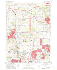
1969 Map of Northville
USGS Topo · Published 1971About this map
Northville and Plymouth anchor this 1969 topographic portrait of the western suburban edge of the Detroit metropolitan area. The landscape is defined by its complex institutional footprints and early postwar residential expansion. Large specialized campuses such as the Northville State Hospital, St. John Seminary, and the Wayne County Child Development Center occupy significant acreage, illustrating the era's civic and religious infrastructure. To the east, the rapid growth of Livonia and Farmington is evident in the dense street grids and emerging neighborhoods like Quakertown.
Find a feature on this map
87 named features on this map. Tap any name to fly to it.
Don’t see what you’re looking for? This feature index may not catch every label — zoom into the map to look around manually.
Map Details
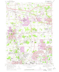
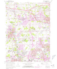
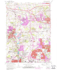
Editions of this 1969 Northville Map
4 editions found
Other maps of this area

1902 · South Lyon
USGS Topo · 1:62,500

1904 · Ann Arbor
USGS Topo · 1:125,000

1905 · Wayne
USGS Topo · 1:62,500

1906 · South Lyon
USGS Topo · 1:62,500

1907 · Pontiac
USGS Topo · 1:62,500

1908 · Ann Arbor
USGS Topo · 1:125,000

1909 · Milford
USGS Topo · 1:62,500

1912 · Wayne
USGS Topo · 1:62,500

1936 · Inkster
USGS Topo · 1:31,680

1936 · Wayne
USGS Topo · 1:31,680