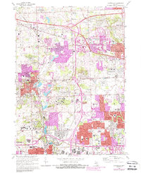
1969 Map of Northville
USGS Topo · Published 1988About this map
The Middle River Rouge and its tributaries, including Tarabusi Creek and the Bell Branch, anchor this detailed look at northwestern Wayne and southern Oakland counties. Large institutional campuses dominate the central landscape, most notably the expansive Northville State Hospital and the nearby Plymouth State Home and Training Sch. These facilities, alongside the Wayne County Child Development Center, reflect a period when the outskirts of the Detroit metropolitan area served as a hub for state-run medical and social service complexes.
Find a feature on this map
98 named features on this map. Tap any name to fly to it.
Don’t see what you’re looking for? This feature index may not catch every label — zoom into the map to look around manually.
Map Details
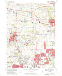
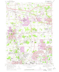
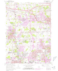
Editions of this 1969 Northville Map
4 editions found
Other maps of this area

1902 · South Lyon
USGS Topo · 1:62,500

1904 · Ann Arbor
USGS Topo · 1:125,000

1905 · Wayne
USGS Topo · 1:62,500

1906 · South Lyon
USGS Topo · 1:62,500

1907 · Pontiac
USGS Topo · 1:62,500

1908 · Ann Arbor
USGS Topo · 1:125,000

1909 · Milford
USGS Topo · 1:62,500

1912 · Wayne
USGS Topo · 1:62,500

1936 · Inkster
USGS Topo · 1:31,680

1936 · Wayne
USGS Topo · 1:31,680