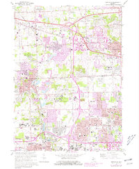
1969 Map of Northville
USGS Topo · Published 1981About this map
The Northville State Hospital and the Plymouth State Home and Training Sch anchor the central landscape of this 1969 survey, which captures the suburban expansion across the Oakland and Wayne County line. The transition from rural township roots to a dense residential and educational corridor is evident, with institutions like Schoolcraft College and Madonna College emerging alongside established local landmarks. The Chesapeake and Ohio railroad cuts through the southern portion of the map, passing by the city of Plymouth and the Wayne County Child Development Center. Notable for its many resting places, the area includes several historical burial grounds such as Quaker Cem, Oakwood Cem, and the extensive Glen Eden Cemetery. Water features like the Middle Rouge River and Phoenix Lake illustrate the area's natural drainage before the further intensive development reflected in the 1980 photorevisions.
Find a feature on this map
85 named features on this map. Tap any name to fly to it.
Don’t see what you’re looking for? This feature index may not catch every label — zoom into the map to look around manually.
Map Details
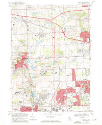
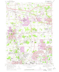
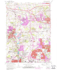
Editions of this 1969 Northville Map
4 editions found
Other maps of this area

1902 · South Lyon
USGS Topo · 1:62,500

1904 · Ann Arbor
USGS Topo · 1:125,000

1905 · Wayne
USGS Topo · 1:62,500

1906 · South Lyon
USGS Topo · 1:62,500

1907 · Pontiac
USGS Topo · 1:62,500

1908 · Ann Arbor
USGS Topo · 1:125,000

1909 · Milford
USGS Topo · 1:62,500

1912 · Wayne
USGS Topo · 1:62,500

1936 · Inkster
USGS Topo · 1:31,680

1936 · Wayne
USGS Topo · 1:31,680