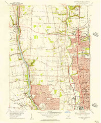
1955 Map of Northwest Columbus
USGS Topo · Published 1956About this map
Columbus and its northern suburbs are captured in a state of mid-century suburban expansion, showing the sprawling campuses of Ohio State University and the specialized grounds of the State School for the Blind and State School for the Deaf. The landscape is defined by its major waterways, the Scioto River and OlentangY River, with the Griggs Reservoir created by the Julian Griggs Dam serving as a significant western landmark.
Find a feature on this map
119 named features on this map. Tap any name to fly to it.
Don’t see what you’re looking for? This feature index may not catch every label — zoom into the map to look around manually.
Map Details
Editions of this 1955 Northwest Columbus Map
2 editions found
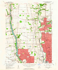
Other maps of this area

1901 · Dublin
USGS Topo · 1:62,500

1902 · Westerville
USGS Topo · 1:62,500

1903 · Dublin
USGS Topo · 1:62,500

1904 · Westerville
USGS Topo · 1:62,500

1923 · West Columbus
USGS Topo · 1:62,500

1925 · East Columbus
USGS Topo · 1:62,500

1925 · West Columbus
USGS Topo · 1:62,500

1943 · East Columbus
USGS Topo · 1:62,500

1947 · Columbus
USGS Topo · 1:250,000

1950 · Marion
USGS Topo · 1:250,000