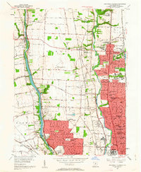
1955 Map of Northwest Columbus
USGS Topo · Published 1963About this map
The Scioto River and OlentangY River define the north-south corridors of this mid-1950s landscape, showing the suburban expansion of Columbus into Upper Arlington and Worthington. The impoundment of Griggs Reservoir creates a prominent water feature on the western edge, flanked by Limestone Quarries and the Indian Village Camp. Institutional growth is evident throughout the quadrangle, notably the expansive grounds of Ohio State University including its University Golf Course and the Don Scott Field. A concentration of educational and social landmarks appears in the east, such as the State School for the Blind, State School for the Deaf, and the Methodist Childrens Home. The infrastructure of the era is anchored by the Pennsylvania, New York Central, and Chesapeake and Ohio railroads, while local family-named roads like Snouffer Road and Hard Road connect emerging residential developments with established centers like Dublin and Linworth.
Find a feature on this map
112 named features on this map. Tap any name to fly to it.
Don’t see what you’re looking for? This feature index may not catch every label — zoom into the map to look around manually.
Map Details
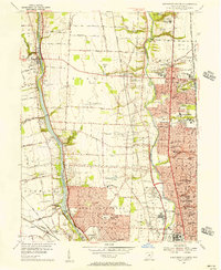
Editions of this 1955 Northwest Columbus Map
2 editions found
Other maps of this area

1901 · Dublin
USGS Topo · 1:62,500

1902 · Westerville
USGS Topo · 1:62,500

1903 · Dublin
USGS Topo · 1:62,500

1904 · Westerville
USGS Topo · 1:62,500

1923 · West Columbus
USGS Topo · 1:62,500

1925 · East Columbus
USGS Topo · 1:62,500

1925 · West Columbus
USGS Topo · 1:62,500

1943 · East Columbus
USGS Topo · 1:62,500

1947 · Columbus
USGS Topo · 1:250,000

1950 · Marion
USGS Topo · 1:250,000