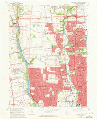
1965 Map of Northwest Columbus
USGS Topo · Published 1971About this map
The Scioto River and Olentangy River corridors anchor this 1965 portrait of the northern Columbus suburbs. The landscape is defined by institutional expansion and post-war residential growth, particularly in Worthington and Upper Arlington. Of particular note is the extensive specialized education and research footprint, including the State School for the Blind, the State School for the Deaf, and the Don Scott Field airfield. The transition from rural to suburban is evident in the lingering presence of quarries near Dublin and the prominent Griggs Reservoir. This map serves as an essential record for tracing mid-century property development, the location of local institutions like Josephinum College, and established burial grounds such as Union Cemetery and Walnut Grove Cem.
Find a feature on this map
103 named features on this map. Tap any name to fly to it.
Don’t see what you’re looking for? This feature index may not catch every label — zoom into the map to look around manually.
Map Details
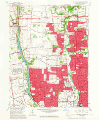
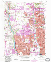
Editions of this 1965 Northwest Columbus Map
3 editions found
Other maps of this area

1901 · Dublin
USGS Topo · 1:62,500

1902 · Westerville
USGS Topo · 1:62,500

1903 · Dublin
USGS Topo · 1:62,500

1904 · Westerville
USGS Topo · 1:62,500

1923 · West Columbus
USGS Topo · 1:62,500

1925 · East Columbus
USGS Topo · 1:62,500

1925 · West Columbus
USGS Topo · 1:62,500

1943 · East Columbus
USGS Topo · 1:62,500

1947 · Columbus
USGS Topo · 1:250,000

1950 · Marion
USGS Topo · 1:250,000