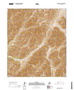
2017 Map of Norton Bay B-2 NE
USGS Topo · Published 2017About this map
The North River carves a significant path through this unpopulated portion of the Yukon-Koyukuk Census Area, showing the complex drainage systems that define the interior landscape. The terrain is characterized by high-elevation contours that feed into the Nulato River and the Shaktoolik River, demonstrating how water movement dictates the geography of the region. This 2017 survey captures the precise township and range divisions, such as t12s r5w and t13s r4w, which provide the essential framework for land management and environmental study in the Alaskan wilderness. Without roads or permanent settlements, the map focuses on the raw topography and the intricate network of tributaries that flow through these massive township blocks.
Find a feature on this map
9 named features on this map. Tap any name to fly to it.
Don’t see what you’re looking for? This feature index may not catch every label — zoom into the map to look around manually.
Map Details
Editions of this 2017 Norton Bay B-2 NE Map
This is the sole edition of this map. No revisions or reprints were ever made.
Other maps of this area

1948 · Norton Bay
USGS Topo · 1:250,000

1951 · Norton Bay
USGS Topo · 1:250,000

1952 · Norton Bay B-1
USGS Topo · 1:63,360
1952 · Norton Bay C-1
USGS Topo · 1:63,360
1953 · Norton Bay B-2
USGS Topo · 1:63,360

1953 · Norton Bay C-2
USGS Topo · 1:63,360

1955 · Norton Bay
USGS Topo · 1:250,000
2017 · Norton Bay B-2 SE
USGS Topo · 1:25,000
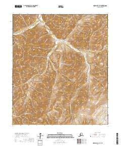
2017 · Norton Bay C-2 SE
USGS Topo · 1:25,000
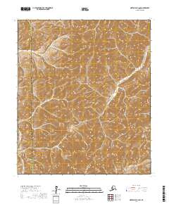
2017 · Norton Bay C-2 SW
USGS Topo · 1:25,000