
1893 Map of Norton
USGS Topo · Published 1893About this map
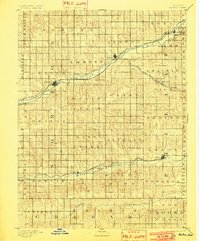
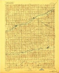
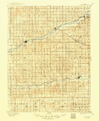
Norton serves as the central hub for this late nineteenth-century landscape, where three major rail lines converge across the plains of northern Kansas. The settlement pattern follows the fertile valleys carved by Prairie Dog Creek and the North Fork Missouri Solomon River, which provided the necessary water and easier grades for steam-era transportation. Established towns like Almena, Logan, and Lenora are shown in their early development, positioned strategically along the Chicago Rock Island and Pacific Railroad and the Pacific Railroad. The survey reveals a highly organized township system, with boundaries such as Prairie View, Grant, and Belmont defining the early land divisions of the county. From the northern reaches near Long Island to the southern drainages of Bow Creek, this document captures the foundational infrastructure of a region transitioning into a settled agricultural economy.
Find a feature on this map
45 named features on this map. Tap any name to fly to it.
Don’t see what you’re looking for? This feature index may not catch every label — zoom into the map to look around manually.
Map Details
Editions of this 1893 Norton Map
4 editions found
Other maps of this area

1893 · Phillipsburg
USGS Topo · 1:125,000

1893 · Hill
USGS Topo · 1:125,000

1896 · Holdrege
USGS Topo · 1:125,000

1896 · Arapahoe
USGS Topo · 1:125,000

1896 · Plainville
USGS Topo · 1:125,000

1898 · Arapahoe
USGS Topo · 1:125,000

1951 · Norton
USGS Topo · 1:62,500

1951 · Norcatur
USGS Topo · 1:62,500

1952 · Webster Dam
USGS Topo · 1:24,000

1954 · McCook
USGS Topo · 1:250,000