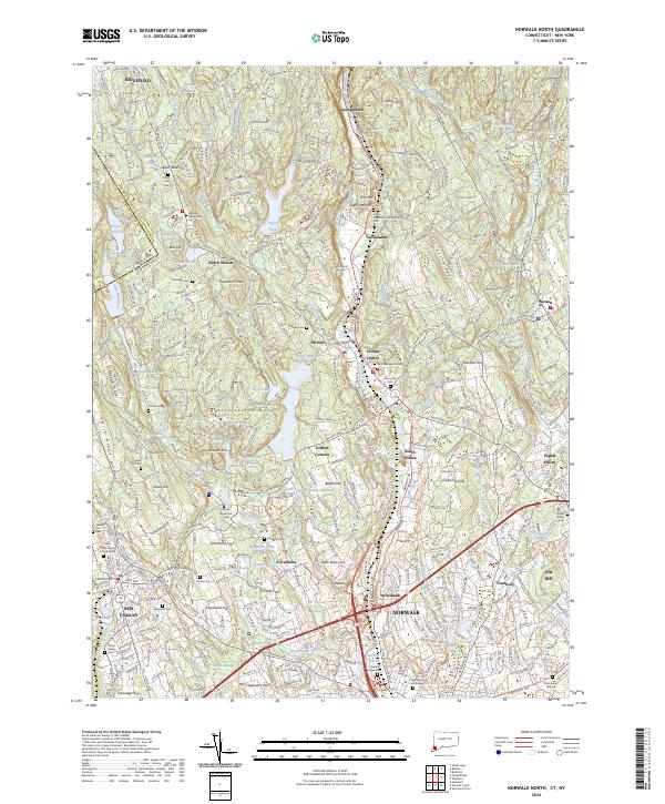
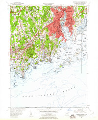
2024 Map of Norwalk North
USGS Topo · Published 2024This historical map portrays the area of Norwalk North in 2024, primarily covering Fairfield County as well as portions of New York. Featuring a scale of 1:24000, this map provides a highly detailed snapshot of the terrain, roads, buildings, counties, and historical landmarks in the Norwalk North region at the time. Published in 2024, it is the sole known edition of this map.
Map Details
Editions of this 2024 Norwalk North Map
This is the sole edition of this map. No revisions or reprints were ever made.
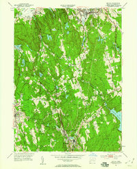
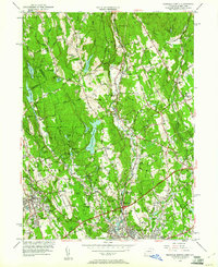
Historical Maps of Wilton Through Time
23 maps found
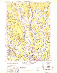
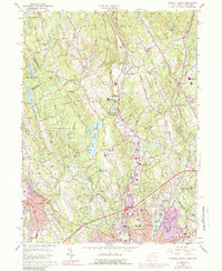
1943 Norwalk North
Fairfield County, CT
1943 Norwalk South
Fairfield County, CT
1947 Norwalk South
Fairfield County, CT
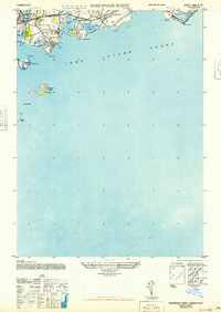
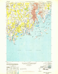
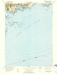
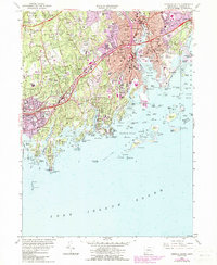
1947 Sherwood Point
Fairfield County, CT
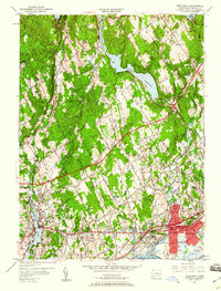
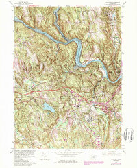
1951 Bethel
Fairfield County, CT
1951 Norwalk North
Fairfield County, CT
1951 Norwalk South
Fairfield County, CT
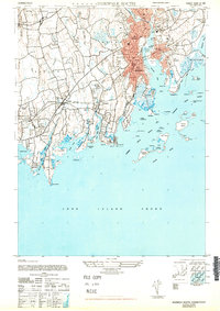
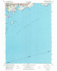
1951 Sherwood Point
Fairfield County, CT
1951 Westport
Fairfield County, CT
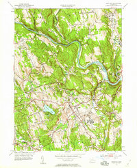
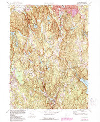
1953 Newtown
Fairfield County, CT
1959 Bethel
Fairfield County, CT
1960 Norwalk North
Fairfield County, CT
1960 Norwalk South
Fairfield County, CT
1960 Sherwood Point
Fairfield County, CT
1960 Westport
Fairfield County, CT
1963 Newtown
Fairfield County, CT
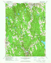
1970 Bethel
Fairfield County, CT
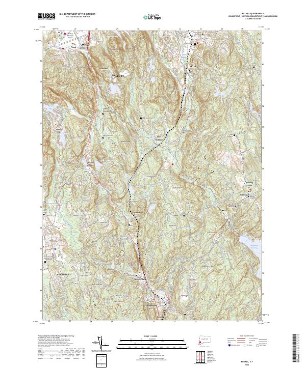
2024 Bethel
Fairfield County, CT
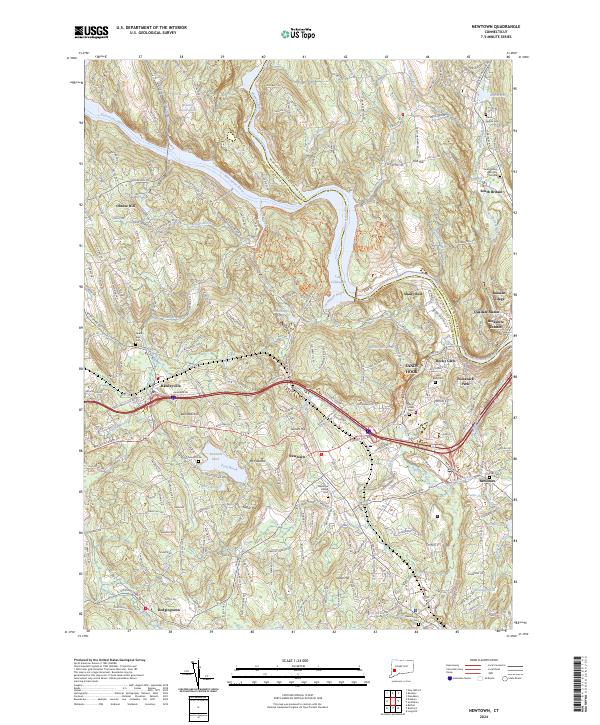
2024 Newtown
Fairfield County, CT
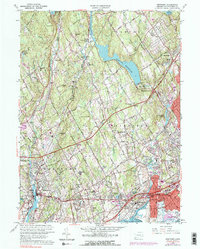
2024 Norwalk North
Fairfield County, CT
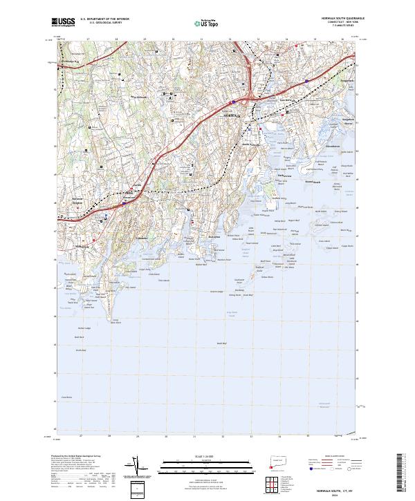
2024 Norwalk South
Fairfield County, CT
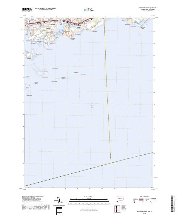
2024 Sherwood Point
Fairfield County, CT
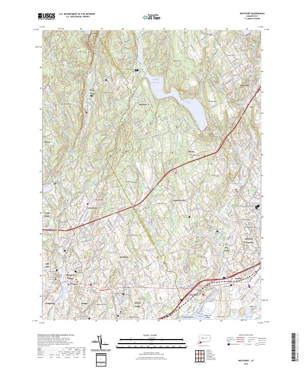
2024 Westport
Fairfield County, CT