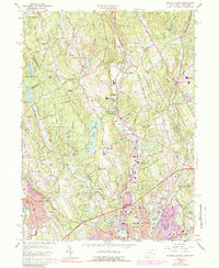
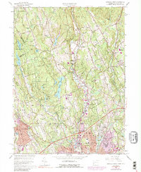
1960 Map of Norwalk North
USGS Topo · Published 1989About this map
The Silvermine River and Norwalk River dominate this Fairfield County landscape, carving through a series of ridges such as Ruscoe Ridge and Marvin Ridge. During the mid-20th century, this area transitioned from its colonial agricultural roots into a sophisticated suburban corridor, as evidenced by the presence of the Merritt Parkway and the Penn Central rail line. The map captures the distinct character of settlements like Silvermine, South Wilton, and Winnipauk before further modern expansion.
Find a feature on this map
108 named features on this map. Tap any name to fly to it.
Don’t see what you’re looking for? This feature index may not catch every label — zoom into the map to look around manually.
Map Details
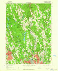
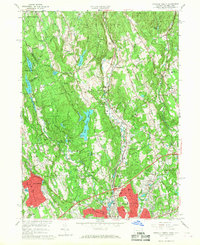
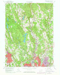
Editions of this 1960 Norwalk North Map
5 editions found
Other maps of this area

1892 · Stamford
USGS Topo · 1:62,500

1892 · Danbury
USGS Topo · 1:62,500

1892 · Norwalk
USGS Topo · 1:62,500

1892 · Carmel
USGS Topo · 1:62,500

1893 · Carmel
USGS Topo · 1:62,500

1893 · Stamford
USGS Topo · 1:62,500

1893 · Norwalk
USGS Topo · 1:62,500

1894 · Carmel
USGS Topo · 1:62,500

1899 · Stamford
USGS Topo · 1:62,500

1915 · Danbury
USGS Topo · 1:62,500