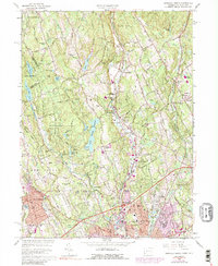
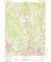
1960 Map of Norwalk North
USGS Topo · Published 1989About this map
The Silvermine River and Saugatuck River cut through this corner of Fairfield County, defining a landscape of residential growth and preserved woodlands during the 1960s. The Merritt Parkway arcs across the southern portion, reflecting the era's suburban expansion as it bypasses established local centers like New Canaan and Wilton. This 1960 revision, later updated with 1970s cultural data, illustrates the transition from a traditional rail-centered economy to an automobile-dependent one, with the Penn Central line still serving local stations from Talmadge Hill to Cannondale.
Find a feature on this map
86 named features on this map. Tap any name to fly to it.
Don’t see what you’re looking for? This feature index may not catch every label — zoom into the map to look around manually.
Map Details
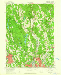
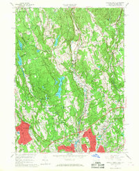
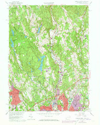
Editions of this 1960 Norwalk North Map
5 editions found
Other maps of this area

1892 · Stamford
USGS Topo · 1:62,500

1892 · Danbury
USGS Topo · 1:62,500

1892 · Norwalk
USGS Topo · 1:62,500

1892 · Carmel
USGS Topo · 1:62,500

1893 · Carmel
USGS Topo · 1:62,500

1893 · Stamford
USGS Topo · 1:62,500

1893 · Norwalk
USGS Topo · 1:62,500

1894 · Carmel
USGS Topo · 1:62,500

1899 · Stamford
USGS Topo · 1:62,500

1915 · Danbury
USGS Topo · 1:62,500