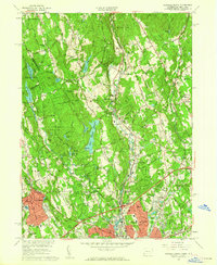
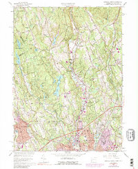
1960 Map of Norwalk North
USGS Topo · Published 1962About this map
Wilton and New Canaan appear at a moment of significant mid-century suburbanization along the Silvermine River and Saugatuck River. The landscape is a complex network of residential growth woven between established landmarks like the Strong Comstock Sch and numerous historic burial grounds including Hickok Cem and Sharp Hill Cem. This 1960 revision provides a detailed view of the infrastructure supporting this expansion, from the New Haven and Hartford RR corridor to the emerging residential streets surrounding Silvermine and South Wilton.
Find a feature on this map
112 named features on this map. Tap any name to fly to it.
Don’t see what you’re looking for? This feature index may not catch every label — zoom into the map to look around manually.
Map Details
Editions of this 1960 Norwalk North Map
5 editions found
Other maps of this area

1892 · Stamford
USGS Topo · 1:62,500

1892 · Danbury
USGS Topo · 1:62,500

1892 · Norwalk
USGS Topo · 1:62,500

1892 · Carmel
USGS Topo · 1:62,500

1893 · Carmel
USGS Topo · 1:62,500

1893 · Stamford
USGS Topo · 1:62,500

1893 · Norwalk
USGS Topo · 1:62,500

1894 · Carmel
USGS Topo · 1:62,500

1899 · Stamford
USGS Topo · 1:62,500

1915 · Danbury
USGS Topo · 1:62,500