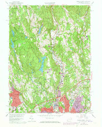
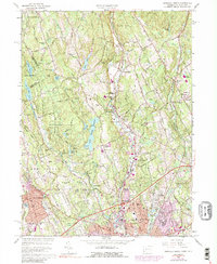
1960 Map of Norwalk North
USGS Topo · Published 1973About this map
Silvermine and the developing northern reaches of Norwalk define this mid-century portrait of Fairfield County. This 1960 update, with revisions into the early 1970s, captures a period of significant suburban expansion as residential infrastructure begins to fill the spaces between historic hamlets. The Merritt Parkway cuts a broad diagonal through the southern half of the map, while the Penn Central line tracks the valley near the Fivemile River. To the north, the landscape remains more segmented by glacial terrain like the Huckleberry Hills and numerous small reservoirs including South Norwalk Reservoir and Rock Lake. Civic and educational growth is evident in the naming of the Wilton Jr High Sch and Broad River Sch. The map also preserves the boundaries of older estates and clubs, such as the New Canaan Country Club, during the era when the Norwalk City Boundary was becoming a primary line of urban demarcation.
Find a feature on this map
83 named features on this map. Tap any name to fly to it.
Don’t see what you’re looking for? This feature index may not catch every label — zoom into the map to look around manually.
Map Details
Editions of this 1960 Norwalk North Map
5 editions found
Other maps of this area

1892 · Stamford
USGS Topo · 1:62,500

1892 · Danbury
USGS Topo · 1:62,500

1892 · Norwalk
USGS Topo · 1:62,500

1892 · Carmel
USGS Topo · 1:62,500

1893 · Carmel
USGS Topo · 1:62,500

1893 · Stamford
USGS Topo · 1:62,500

1893 · Norwalk
USGS Topo · 1:62,500

1894 · Carmel
USGS Topo · 1:62,500

1899 · Stamford
USGS Topo · 1:62,500

1915 · Danbury
USGS Topo · 1:62,500