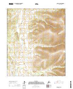
2017 Map of Nulato A-5 NE
USGS Topo · Published 2017About this map
Kaiyuh Mountains define the eastern edge of this landscape in the Yukon-Koyukuk region, where the terrain transitions from steep elevation to complex drainage systems. The map illustrates a remote interior wilderness centered on the winding path of Yukon Cr as it flows through the central townships. The southwestern portion of the sheet is dominated by the headwaters and tributaries of the W Fork Little Mud River, reflecting the hydraulic patterns of the Alaskan interior before modern development. In the southern reaches, Dome Cr cuts through the lower elevations, providing a clear view of the topographical relief and natural watercourses that have historically shaped navigation and subsistence in this part of the Nulato area.
Find a feature on this map
10 named features on this map. Tap any name to fly to it.
Don’t see what you’re looking for? This feature index may not catch every label — zoom into the map to look around manually.
Map Details
Editions of this 2017 Nulato A-5 NE Map
This is the sole edition of this map. No revisions or reprints were ever made.
Other maps of this area

1945 · Nulato
USGS Topo · 1:250,000

1951 · Nulato
USGS Topo · 1:250,000

1952 · Nulato A-5
USGS Topo · 1:63,360

1952 · Nulato A-4
USGS Topo · 1:63,360

1952 · Nulato B-5
USGS Topo · 1:63,360

1952 · Nulato B-4
USGS Topo · 1:63,360

1952 · Nulato
USGS Topo · 1:250,000
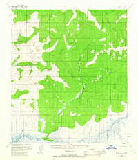
1953 · Nulato A-4
USGS Topo · 1:63,360
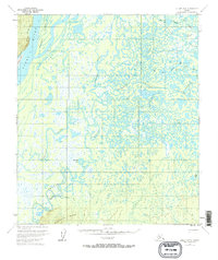
1953 · Nulato B-5
USGS Topo · 1:63,360

1964 · Nulato
USGS Topo · 1:250,000