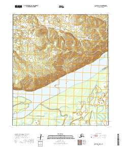
2019 Map of Nulato C-1 NW
USGS Topo · Published 2019About this map
The Yukon River dominates this portion of the interior, carving a wide path through the landscape of the Yukon-Koyukuk region. In the northern reaches, Mueller Mtn provides a significant topographic landmark above the river valley. The river's dynamic nature is evidenced by features such as Sandy Hook and several islands, including Dainty Island and Fish Island, which shape the main channel. South of the river, the drainage system of Gohn Creek winds through the lowlands, reflecting the intricate hydrography typical of this subarctic environment. This 2019 survey documents a landscape defined by its waterways, showing a terrain largely devoid of modern development or permanent infrastructure, where the primary landmarks remain the natural elevations and the ever-shifting riverbanks.
Find a feature on this map
13 named features on this map. Tap any name to fly to it.
Don’t see what you’re looking for? This feature index may not catch every label — zoom into the map to look around manually.
Map Details
Editions of this 2019 Nulato C-1 NW Map
This is the sole edition of this map. No revisions or reprints were ever made.
Other maps of this area

1945 · Nulato
USGS Topo · 1:250,000

1951 · Nulato
USGS Topo · 1:250,000

1952 · Nulato C-1
USGS Topo · 1:63,360

1952 · Nulato D-1
USGS Topo · 1:63,360

1952 · Nulato C-2
USGS Topo · 1:63,360

1952 · Nulato D-2
USGS Topo · 1:63,360

1952 · Nulato
USGS Topo · 1:250,000
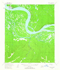
1953 · Nulato C-2
USGS Topo · 1:63,360
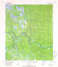
1954 · Nulato D-2
USGS Topo · 1:63,360

1964 · Nulato
USGS Topo · 1:250,000