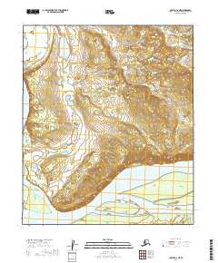
2019 Map of Nulato C-2 NE
USGS Topo · Published 2019About this map
The Yukon River dominates the southern reaches of this landscape, carving a wide path through the Yukon-Koyukuk region. This interior Alaskan terrain is characterized by a complex network of waterways, including Bessy Slough and Louden Slough, which branch away from the main river channel. Notable elevation changes are found at Cave Off Cliffs in the west and Bear Bluff to the south, where the high ground meets the river's edge. The northern half of the area is a mosaic of wetlands and small ponds, accessed primarily by Campion Road, which cuts through the northwestern corner. The map also delineates river landmarks such as Hartnet Island and Fish Island, highlighting the shifting nature of the silt-heavy riverbed and the isolated landforms it creates.
Find a feature on this map
15 named features on this map. Tap any name to fly to it.
Don’t see what you’re looking for? This feature index may not catch every label — zoom into the map to look around manually.
Map Details
Editions of this 2019 Nulato C-2 NE Map
This is the sole edition of this map. No revisions or reprints were ever made.
Other maps of this area

1945 · Nulato
USGS Topo · 1:250,000

1951 · Nulato
USGS Topo · 1:250,000

1952 · Nulato C-1
USGS Topo · 1:63,360

1952 · Nulato D-1
USGS Topo · 1:63,360

1952 · Nulato C-2
USGS Topo · 1:63,360

1952 · Nulato D-2
USGS Topo · 1:63,360

1952 · Nulato
USGS Topo · 1:250,000
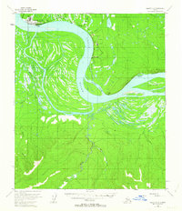
1953 · Nulato C-2
USGS Topo · 1:63,360
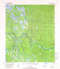
1954 · Nulato D-2
USGS Topo · 1:63,360

1964 · Nulato
USGS Topo · 1:250,000