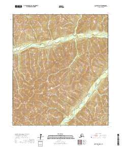
2017 Map of Nulato C-6 NW
USGS Topo · Published 2017About this map
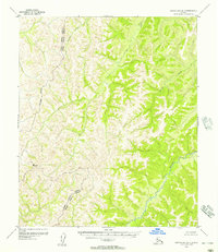
Nulato River meanders through the northern reaches of this interior landscape, a primary waterway in a region defined by its significant relief and elevation changes. The drainage patterns shown on this 2017 survey illustrate how Kalasik Creek and its unnamed tributaries have carved out the terrain between prominent ridges. The map provides a detailed view of the Public Land Survey System grid across multiple townships, including t9s r1w and t9s r2w. This interior portion of the Yukon-Koyukuk Census Area remains largely undeveloped, with no roads or named settlements appearing on the sheet, reflecting the remote nature of the Alaskan wilderness where topographic features and watercourses are the primary landmarks for navigation and land management.
Find a feature on this map
11 named features on this map. Tap any name to fly to it.
Don’t see what you’re looking for? This feature index may not catch every label — zoom into the map to look around manually.
Map Details
Editions of this 2017 Nulato C-6 NW Map
This is the sole edition of this map. No revisions or reprints were ever made.
Other maps of this area

1945 · Nulato
USGS Topo · 1:250,000

1948 · Norton Bay
USGS Topo · 1:250,000

1951 · Nulato
USGS Topo · 1:250,000

1951 · Norton Bay
USGS Topo · 1:250,000

1952 · Nulato C-6
USGS Topo · 1:63,360

1952 · Nulato
USGS Topo · 1:250,000
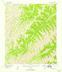
1952 · Norton Bay C-1
USGS Topo · 1:63,360
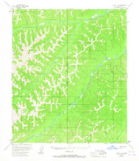
1953 · Nulato C-6
USGS Topo · 1:63,360
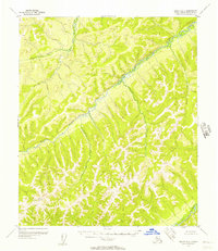
1955 · Nulato D-6
USGS Topo · 1:63,360
1955 · Norton Bay D-1
USGS Topo · 1:63,360