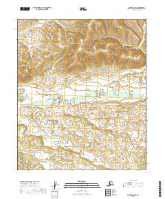
2019 Map of Nulato D-1 SW
USGS Topo · Published 2019About this map
Whakatna Cr meanders through this interior Alaska landscape, defining the primary drainage pattern across a wilderness terrain. The region is largely shaped by the natural contours and hydraulic systems that remain relatively untouched by permanent modern development. This 2019 survey documents the extensive marshlands and watercourses that characterize the Yukon-Koyukuk Census Area, offering a high-resolution view of the local topography and the complex path of Whakatna Cr. Mapping from the U.S. Geological Survey reveals a landscape where survival and travel historically depended on these subtle water routes through the northern interior.
Find a feature on this map
5 named features on this map. Tap any name to fly to it.
Don’t see what you’re looking for? This feature index may not catch every label — zoom into the map to look around manually.
Map Details
Editions of this 2019 Nulato D-1 SW Map
This is the sole edition of this map. No revisions or reprints were ever made.
Other maps of this area

1945 · Nulato
USGS Topo · 1:250,000

1951 · Nulato
USGS Topo · 1:250,000

1952 · Nulato C-1
USGS Topo · 1:63,360

1952 · Nulato D-1
USGS Topo · 1:63,360

1952 · Nulato C-2
USGS Topo · 1:63,360

1952 · Nulato D-2
USGS Topo · 1:63,360

1952 · Nulato
USGS Topo · 1:250,000
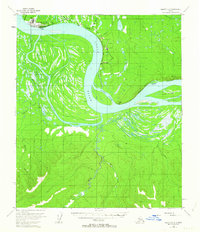
1953 · Nulato C-2
USGS Topo · 1:63,360
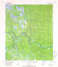
1954 · Nulato D-2
USGS Topo · 1:63,360

1964 · Nulato
USGS Topo · 1:250,000