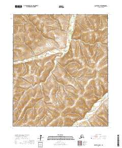
2017 Map of Nulato D-6 NW
USGS Topo · Published 2017About this map
Gisasa River winds through the southeastern corner of this Alaskan interior terrain, where the water levels and drainage patterns of the Yukon-Koyukuk region are documented in detail. The landscape is defined by the narrow valley of Arvesta Cr, which flows southward through the central part of the quadrangle. As a modern 2017 survey, the map captures the wilderness character of the western Alaska interior, reflecting the Public Land Survey System grids for several townships, including t6s r1w and t7s r1w. The contour lines illustrate the intricate elevation changes between the creek drainages and the surrounding uplands, providing a high-resolution look at the hydrography before it meets the larger river systems of the region.
Find a feature on this map
8 named features on this map. Tap any name to fly to it.
Don’t see what you’re looking for? This feature index may not catch every label — zoom into the map to look around manually.
Map Details
Editions of this 2017 Nulato D-6 NW Map
This is the sole edition of this map. No revisions or reprints were ever made.
Other maps of this area

1945 · Nulato
USGS Topo · 1:250,000

1948 · Norton Bay
USGS Topo · 1:250,000

1951 · Candle
USGS Topo · 1:250,000

1951 · Nulato
USGS Topo · 1:250,000

1951 · Norton Bay
USGS Topo · 1:250,000

1951 · Kateel River
USGS Topo · 1:250,000

1952 · Nulato
USGS Topo · 1:250,000

1954 · Candle A-1
USGS Topo · 1:63,360
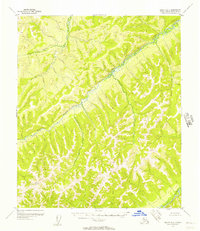
1955 · Nulato D-6
USGS Topo · 1:63,360
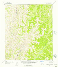
1955 · Norton Bay D-1
USGS Topo · 1:63,360