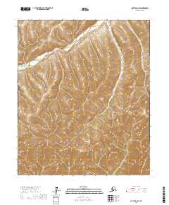
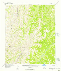
2017 Map of Nulato D-6 SW
USGS Topo · Published 2017About this map
Gisasa River winds through the northwestern corner of this interior Alaskan landscape, which is dominated by the steep, rising slopes of the Nulato Hills. This 2017 survey reveals an area defined by significant relief and a dense network of high ridges and drainage basins. The map illustrates the topographic complexity of the Nulato Hills, where narrow ravines and sharp crests dictate the path of seasonal runoff. This sheet serves as a clear record of the undeveloped wilderness within the Yukon-Koyukuk Census Area, providing detailed elevation data for researchers and surveyors working in the remote western interior before more modern changes might occur.
Find a feature on this map
8 named features on this map. Tap any name to fly to it.
Don’t see what you’re looking for? This feature index may not catch every label — zoom into the map to look around manually.
Map Details
Editions of this 2017 Nulato D-6 SW Map
This is the sole edition of this map. No revisions or reprints were ever made.
Other maps of this area

1945 · Nulato
USGS Topo · 1:250,000

1948 · Norton Bay
USGS Topo · 1:250,000

1951 · Nulato
USGS Topo · 1:250,000

1951 · Norton Bay
USGS Topo · 1:250,000

1952 · Nulato C-6
USGS Topo · 1:63,360

1952 · Nulato
USGS Topo · 1:250,000
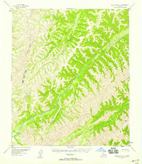
1952 · Norton Bay C-1
USGS Topo · 1:63,360
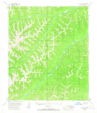
1953 · Nulato C-6
USGS Topo · 1:63,360
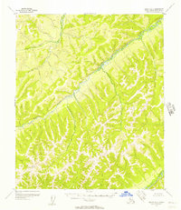
1955 · Nulato D-6
USGS Topo · 1:63,360
1955 · Norton Bay D-1
USGS Topo · 1:63,360