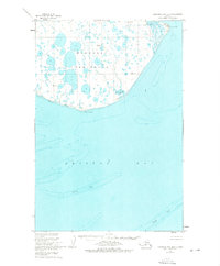
1950 Map of Nushagak Bay B-3
USGS Topo · Published 1974About this map
The Nushagak Peninsula dominates this 1950 hydrographic and topographic study, showing a landscape defined by an intricate network of countless small lakes and ponds. Situated at the edge of Bristol Bay, the land terminates at sharp coastal landmarks including Cape Constantine and Protection Point. The map provides detailed maritime data compiled from earlier Coast and Geodetic Survey charts, revealing the complex underwater topography of the surrounding waters. Large hazards like the Sterling Shoal and Ustiugof Shoal are clearly delineated, marking the transition from the peninsula’s low-lying marshy interior to the deep bay. Several triangulation stations, such as Vabm Bee 131 and Vabm Nush 101, serve as fixed points in this remote terrain, which contains no established roads or trails.
Find a feature on this map
13 named features on this map. Tap any name to fly to it.
Don’t see what you’re looking for? This feature index may not catch every label — zoom into the map to look around manually.
Map Details
Editions of this 1950 Nushagak Bay B-3 Map
3 editions found
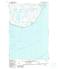
Other maps of this area

1945 · Nushagak Bay
USGS Topo · 1:250,000

1948 · Nushagak Bay C-4 And C-5
USGS Topo · 1:63,360

1949 · Nushagak Bay
USGS Topo · 1:250,000

1950 · Nushagak Bay B-4
USGS Topo · 1:63,360

1950 · Nushagak Bay C-3
USGS Topo · 1:63,360

1950 · Nushagak Bay C-4 And C-5
USGS Topo · 1:63,360
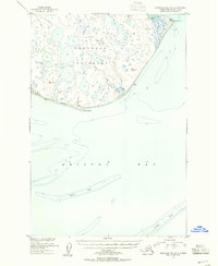
1950 · Nushagak Bay B-3
USGS Topo · 1:63,360

1951 · Nushagak Bay
USGS Topo · 1:250,000

1964 · Nushagak Bay
USGS Topo · 1:250,000
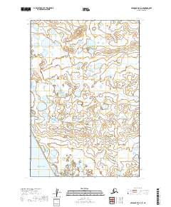
2019 · Nushagak Bay C-4 SE
USGS Topo · 1:25,000