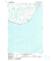
1950 Map of Nushagak Bay B-3
USGS Topo · Published 1982About this map
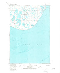
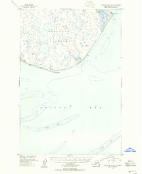
Nushagak Peninsula forms a prominent landmass on the eastern edge of the Bering Sea, characterized by a complex network of thousands of small lakes and tundra ponds. This 1950 survey, with minor revisions in 1974, depicts the shoreline where the Togiak National Wildlife Refuge and Amnwr meet the waters of Bristol Bay. The terrain is low-lying, with elevations rarely exceeding 100 feet, emphasizing the susceptibility of this coastline to the shifting shoals and mudflats common to the region. Navigational landmarks such as Cape Constantine at the southern tip and Protection Point on the eastern side provide critical orientation for the maritime activity that defines the area. Underwater hazards are meticulously noted, including the expansive Ustiugof Shoal, which dominates the offshore bathymetry to the south.
Find a feature on this map
9 named features on this map. Tap any name to fly to it.
Don’t see what you’re looking for? This feature index may not catch every label — zoom into the map to look around manually.
Map Details
Editions of this 1950 Nushagak Bay B-3 Map
3 editions found
Other maps of this area

1945 · Nushagak Bay
USGS Topo · 1:250,000

1948 · Nushagak Bay C-4 And C-5
USGS Topo · 1:63,360

1949 · Nushagak Bay
USGS Topo · 1:250,000

1950 · Nushagak Bay B-4
USGS Topo · 1:63,360

1950 · Nushagak Bay C-3
USGS Topo · 1:63,360

1950 · Nushagak Bay C-4 And C-5
USGS Topo · 1:63,360
1950 · Nushagak Bay B-3
USGS Topo · 1:63,360

1951 · Nushagak Bay
USGS Topo · 1:250,000

1964 · Nushagak Bay
USGS Topo · 1:250,000
2019 · Nushagak Bay C-4 SE
USGS Topo · 1:25,000