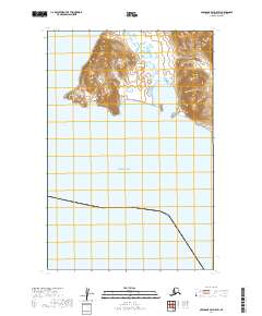
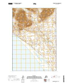
2019 Map of Nushagak Bay D-5 SW
USGS Topo · Published 2019About this map
Bristol Bay dominates the southern half of this coastal Alaskan landscape, where the waters meet the peninsula at the edge of the Dillingham Census Area. The shoreline is defined by the prominent westward projection of Kulukak Point, a landmark for navigation along these tidal reaches. Tucked behind the rugged coastline lies the sheltered inlet of Tvalivak Bay, surrounded by a complex network of wetlands and small lakes characteristic of the Bering Sea coastal plains. This topography illustrates the transition from high, ridged terrain in the north to the low-lying, marshy estuaries that feed into the larger bay system. The map provides a detailed view of the township and range boundaries including t15s r62w and t15s r61w, mapping out the remote coastal sections before they descend into the sea.
Find a feature on this map
6 named features on this map. Tap any name to fly to it.
Don’t see what you’re looking for? This feature index may not catch every label — zoom into the map to look around manually.
Map Details
Editions of this 2019 Nushagak Bay D-5 SW Map
This is the sole edition of this map. No revisions or reprints were ever made.
Other maps of this area

1945 · Nushagak Bay
USGS Topo · 1:250,000

1949 · Nushagak Bay
USGS Topo · 1:250,000

1950 · Nushagak Bay D-5
USGS Topo · 1:63,360

1950 · Nushagak Bay D-6
USGS Topo · 1:63,360

1951 · Nushagak Bay
USGS Topo · 1:250,000

1964 · Nushagak Bay
USGS Topo · 1:250,000
2019 · Nushagak Bay D-6 NE
USGS Topo · 1:25,000
2019 · Nushagak Bay C-5 NE
USGS Topo · 1:25,000
2019 · Nushagak Bay D-6 SE
USGS Topo · 1:25,000
2019 · Nushagak Bay D-5 SE
USGS Topo · 1:25,000