
1901 Map of Nuyaka
USGS Topo · Published 1901About this map
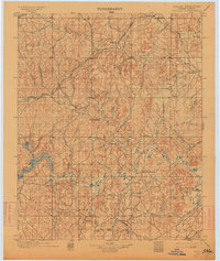
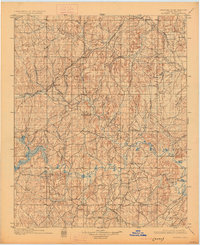
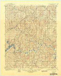
Indian Territory (Creek Nation) as surveyed in the late 1890s reveals a landscape defined by the transition from tribal lands to burgeoning rail-side settlements. The St. Louis and San Francisco RR and its Oklahoma Division cut through the northern half of the quadrangle, fueling the growth of towns like Sapulpa, Kellyville, and Bristow. These communities are situated among a complex network of creeks, including the extensive Polecat Creek system and Duck Creek to the east.
Find a feature on this map
54 named features on this map. Tap any name to fly to it.
Don’t see what you’re looking for? This feature index may not catch every label — zoom into the map to look around manually.
Map Details
Editions of this 1901 Nuyaka Map
4 editions found
Other maps of this area

1896 · Seminole and Prague
USGS Topo · 1:125,000

1896 · Okmulgee
USGS Topo · 1:125,000

1900 · Canadian
USGS Topo · 1:125,000

1900 · Wewoka
USGS Topo · 1:125,000

1900 · Okmulgee
USGS Topo · 1:125,000

1901 · Claremore
USGS Topo · 1:125,000

1912 · Hominy
USGS Topo · 1:125,000

1914 · Kiefer
USGS Topo · 1:62,500

1914 · Claremore
USGS Topo · 1:125,000

1915 · Hominy
USGS Topo · 1:125,000