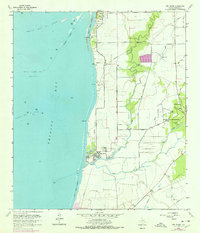
1961 Map of Oak Island
USGS Topo · Published 1978About this map
The eastern shores of Trinity Bay reveal a landscape defined by the intersection of the petroleum industry and coastal marshlands during the early 1960s. The map illustrates an extensive network of offshore infrastructure, including the Trinity Bay Oil Field and the North Fishers Reef Gas Field, with numerous drill holes and gas wells dotting the shallow waters. Inland, the community of Double Bayou serves as a local hub, featuring the Double Bayou Sch, St Paul Ch, and Mt Zion Ch.
Find a feature on this map
35 named features on this map. Tap any name to fly to it.
Don’t see what you’re looking for? This feature index may not catch every label — zoom into the map to look around manually.
Map Details
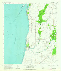
Editions of this 1961 Oak Island Map
2 editions found
Other maps of this area

1931 · Frozen Point
USGS Topo · 1:24,000

1933 · Frozen Point
USGS Topo · 1:31,680

1933 · Whites Lake
USGS Topo · 1:31,680

1933 · Smith Point
USGS Topo · 1:31,680

1942 · Anahuac
USGS Topo · 1:24,000

1943 · West of Eagle
USGS Topo · 1:31,680

1943 · Frozen Point
USGS Topo · 1:24,000
1943 · Smith Point
USGS Topo · 1:24,000
1943 · Lake Stephenson
USGS Topo · 1:24,000

1950 · Houston
USGS Topo · 1:250,000