
1900 Map of Oakland
USGS Topo · Published 1900About this map
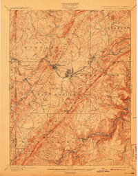
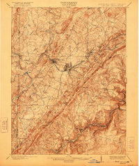
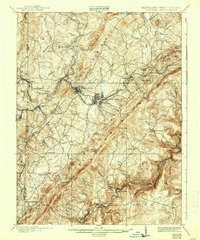
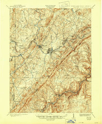
Oakland serves as the central hub of this 1900 survey, situated at the junction where the B. & O. R. R. meets the winding Youghiogheny River. The landscape is dominated by the massive ridge of Backbone Mountain, which separates the high plateau of East Oakland from the steep drainage of the North Branch Potomac River along the West Virginia border. The rail-and-river economy is evident in the cluster of mountain resorts and industrial settlements like Mountain Lake Park, Loch Lynn, and the timbering outpost at Crellin.
Find a feature on this map
95 named features on this map. Tap any name to fly to it.
Don’t see what you’re looking for? This feature index may not catch every label — zoom into the map to look around manually.
Map Details
Editions of this 1900 Oakland Map
5 editions found
Other maps of this area

1886 · St. George
USGS Topo · 1:125,000

1891 · St. George
USGS Topo · 1:125,000

1895 · Piedmont
USGS Topo · 1:125,000

1899 · Grantsville
USGS Topo · 1:62,500

1899 · Oakland
USGS Topo · 1:62,500

1900 · Accident
USGS Topo · 1:62,500

1904 · Bruceton
USGS Topo · 1:62,500

1904 · Grantsville
USGS Topo · 1:62,500

1907 · Kingwood
USGS Topo · 1:62,500

1908 · Parsons
USGS Topo · 1:62,500