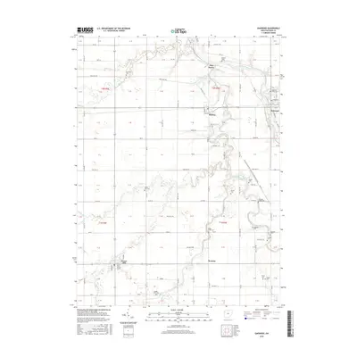
2016 Map of Oakwood
USGS Topo · Published 2016About this map
The Auglaize River and its major tributary, the Little Auglaize River, dictate the geography of this western Ohio landscape. Settled communities like Oakwood and Melrose are established near these waterways, while Grover Hill occupies the southwestern corner of the quadrangle. The map is particularly rich for genealogical research, documenting numerous small family and community burial grounds including Auglaize Chapel Cem, Middle Creek Cem, and Hertel Cem.
Find a feature on this map
78 named features on this map. Tap any name to fly to it.
Don’t see what you’re looking for? This feature index may not catch every label — zoom into the map to look around manually.
Map Details
Editions of this 2016 Oakwood Map
This is the sole edition of this map. No revisions or reprints were ever made.
Other maps of this area
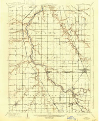
1909 · Continental
USGS Topo · 1:62,500
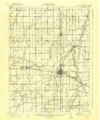
1911 · Delphos
USGS Topo · 1:62,500
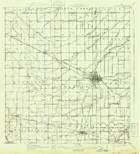
1914 · Van Wert
USGS Topo · 1:62,500
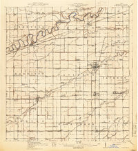
1914 · Paulding
USGS Topo · 1:62,500
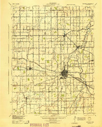
1944 · Delphos
USGS Topo · 1:62,500
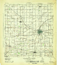
1944 · Van Wert
USGS Topo · 1:62,500
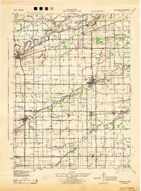
1944 · Paulding
USGS Topo · 1:62,500
1953 · Fort Wayne
USGS Topo · 1:250,000
1953 · Muncie
USGS Topo · 1:250,000
1956 · Muncie
USGS Topo · 1:250,000