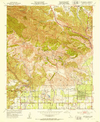
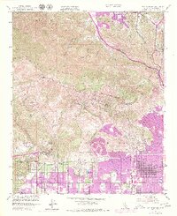
1952 Map of Oat Mountain
USGS Topo · Published 1953About this map
The Santa Susana Mountains form a dramatic backdrop for the mid-century development of the northwest San Fernando Valley. This landscape transition is punctuated by iconic landmarks like Stony Point and the Garden of the Gods, alongside the early suburban footprints of Chatsworth and Granada Hills. The northern reach of the map reveals the industrial and transport history of the region, featuring an Historic Refinery near Newhall and the critical Southern Pacific rail line traversing the mountains through a significant Tunnel.
Find a feature on this map
49 named features on this map. Tap any name to fly to it.
Don’t see what you’re looking for? This feature index may not catch every label — zoom into the map to look around manually.
Map Details
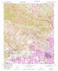
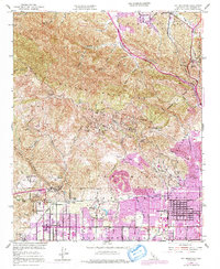
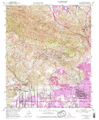
Editions of this 1952 Oat Mountain Map
8 editions found
Other maps of this area

1894 · Los Angeles
USGS Topo · 1:62,500

1896 · Santa Monica
USGS Topo · 1:62,500

1898 · Santa Monica
USGS Topo · 1:62,500

1900 · Los Angeles
USGS Topo · 1:62,500

1900 · Fernando
USGS Topo · 1:62,500

1901 · Southern California Sheet No. 1
USGS Topo · 1:250,000

1902 · Santa Monica
USGS Topo · 1:62,500

1903 · Calabasas
USGS Topo · 1:62,500

1903 · Camulos
USGS Topo · 1:125,000

1903 · Santa Susana
USGS Topo · 1:62,500
Featured Places
- Los Angeles, CA
- Santa Clarita, CA
- Fern Ann Falls, Unincorporated Chatsworth
- Waltz, Santa Clarita
- Deer Lake Highlands, Unincorporated Chatsworth