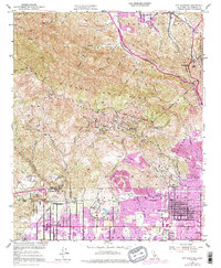
1952 Map of Oat Mountain
USGS Topo · Published 1992About this map
The Santa Susana Mountains dominate the upper half of this topographical study, giving way to the expanding suburban grids of the north San Fernando Valley. In the mid-century period, the landscape transitioned from the oil-rich ruggedness of Pico Canyon and its Historic Refinery in the north to the blossoming residential developments of Chatsworth and Granada Hills in the south. The rugged northwestern terrain includes the famed Iverson Ranch and the distinctive rock formations of the Garden of the Gods, often utilized as film locations. The Southern Pacific railroad cuts through the valley floor, passing near Oakwood Cem and several civic institutions including the Military Academy and various local high schools. Numerous canyons like Aliso Canyon and Browns Canyon drain the highlands, framing isolated residential pockets such as Twin Lakes and Deer Lake Highlands.
Find a feature on this map
72 named features on this map. Tap any name to fly to it.
Don’t see what you’re looking for? This feature index may not catch every label — zoom into the map to look around manually.
Map Details
Editions of this 1952 Oat Mountain Map
8 editions found
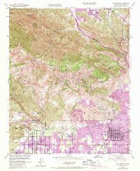
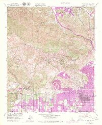
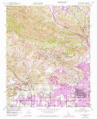
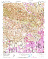
Other maps of this area

1894 · Los Angeles
USGS Topo · 1:62,500

1896 · Santa Monica
USGS Topo · 1:62,500

1898 · Santa Monica
USGS Topo · 1:62,500

1900 · Los Angeles
USGS Topo · 1:62,500

1900 · Fernando
USGS Topo · 1:62,500

1901 · Southern California Sheet No. 1
USGS Topo · 1:250,000

1902 · Santa Monica
USGS Topo · 1:62,500

1903 · Calabasas
USGS Topo · 1:62,500

1903 · Camulos
USGS Topo · 1:125,000

1903 · Santa Susana
USGS Topo · 1:62,500
Featured Places
- Los Angeles, CA
- Santa Clarita, CA
- Fern Ann Falls, Unincorporated Chatsworth
- Waltz, Santa Clarita
- Deer Lake Highlands, Unincorporated Chatsworth