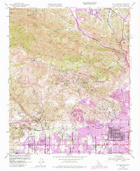
1952 Map of Oat Mountain
USGS Topo · Published 1984About this map
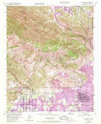
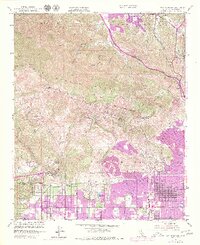
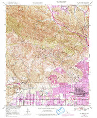
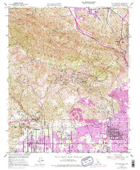
The Santa Susana Mountains dominate this mid-century landscape, serving as a high-relief barrier between the expanding northern suburbs of Los Angeles and the Santa Clarita Valley. In the south, the early post-war development of Granada Hills and Chatsworth is clearly visible, with the purple overprint highlighting the rapid residential growth along corridors like Devonshire St and Balboa Blvd. The map captures a transitional era where agricultural land and large estates, such as the Iverson Ranch and Garden of the Gods, met the advancing grid of the San Fernando Valley.
Find a feature on this map
64 named features on this map. Tap any name to fly to it.
Don’t see what you’re looking for? This feature index may not catch every label — zoom into the map to look around manually.
Map Details
Editions of this 1952 Oat Mountain Map
8 editions found
Other maps of this area

1894 · Los Angeles
USGS Topo · 1:62,500

1896 · Santa Monica
USGS Topo · 1:62,500

1898 · Santa Monica
USGS Topo · 1:62,500

1900 · Los Angeles
USGS Topo · 1:62,500

1900 · Fernando
USGS Topo · 1:62,500

1901 · Southern California Sheet No. 1
USGS Topo · 1:250,000

1902 · Santa Monica
USGS Topo · 1:62,500

1903 · Calabasas
USGS Topo · 1:62,500

1903 · Camulos
USGS Topo · 1:125,000

1903 · Santa Susana
USGS Topo · 1:62,500
Featured Places
- Los Angeles, CA
- Santa Clarita, CA
- Fern Ann Falls, Unincorporated Chatsworth
- Waltz, Santa Clarita
- Deer Lake Highlands, Unincorporated Chatsworth