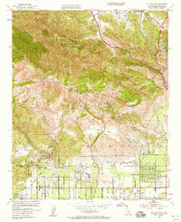
1952 Map of Oat Mountain
USGS Topo · Published 1958About this map
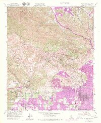
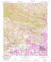
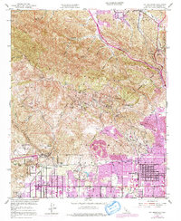
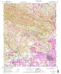
The Santa Susana Mountains form a dramatic backdrop for the transition from ranch land to mid-century suburban expansion in the northern reaches of the San Fernando Valley. In the early 1950s, the landscape around Chatsworth and Granada Hills remains largely defined by open acreage and landmark estates like the Iverson Ranch and the striking rock formations of the Garden of the Gods. To the north, the terrain rises sharply toward Oat Mountain and Mission Point, cut by deep drainages such as Aliso Canyon and Limekiln Canyon. The influence of transportation is evident where the Southern Pacific line passes through the Santa Susana Tunnel, while the Golden State Highway and San Fernando Road trace the edge of the San Francisco Mts toward Newhall. This survey captures a moment when agricultural sites like the Los Angeles City Farm still shared the valley floor with emerging residential developments and rural outposts like Deer Lake Highlands.
Find a feature on this map
53 named features on this map. Tap any name to fly to it.
Don’t see what you’re looking for? This feature index may not catch every label — zoom into the map to look around manually.
Map Details
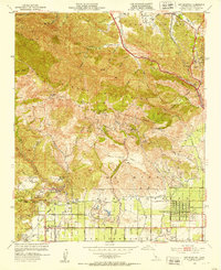
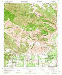
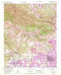
Editions of this 1952 Oat Mountain Map
8 editions found
Other maps of this area

1894 · Los Angeles
USGS Topo · 1:62,500

1896 · Santa Monica
USGS Topo · 1:62,500

1898 · Santa Monica
USGS Topo · 1:62,500

1900 · Los Angeles
USGS Topo · 1:62,500

1900 · Fernando
USGS Topo · 1:62,500

1901 · Southern California Sheet No. 1
USGS Topo · 1:250,000

1902 · Santa Monica
USGS Topo · 1:62,500

1903 · Calabasas
USGS Topo · 1:62,500

1903 · Camulos
USGS Topo · 1:125,000

1903 · Santa Susana
USGS Topo · 1:62,500
Featured Places
- Los Angeles, CA
- Santa Clarita, CA
- Fern Ann Falls, Unincorporated Chatsworth
- Waltz, Santa Clarita
- Deer Lake Highlands, Unincorporated Chatsworth