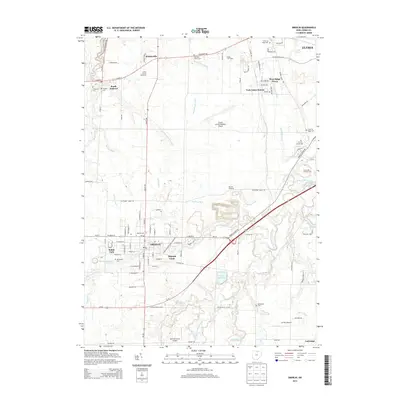
2013 Map of Oberlin
USGS Topo · Published 2013About this map
Oberlin and the surrounding Lorain County landscape are captured here in a period of established institutional and agricultural presence. The renowned Oberlin Coll serves as the cultural and geographic anchor for the town, which is surrounded by a dense network of local cemeteries including Westwood Cem and the Agudath Achim Cem. The mapping details a productive rural economy, evidenced by the Grobe Fruit Farm and Vita-ful Orchards, alongside modern infrastructure like the Lorain County Regional Airport.
Find a feature on this map
96 named features on this map. Tap any name to fly to it.
Don’t see what you’re looking for? This feature index may not catch every label — zoom into the map to look around manually.
Map Details
Editions of this 2013 Oberlin Map
This is the sole edition of this map. No revisions or reprints were ever made.
Other maps of this area

1901 · Oberlin
USGS Topo · 1:62,500

1903 · Vermilion
USGS Topo · 1:62,500

1903 · Oberlin
USGS Topo · 1:62,500

1904 · Wellington
USGS Topo · 1:62,500

1906 · Wellington
USGS Topo · 1:62,500

1908 · New London
USGS Topo · 1:62,500

1953 · Grafton
USGS Topo · 1:24,000

1953 · Avon
USGS Topo · 1:24,000

1956 · Toledo
USGS Topo · 1:250,000

1959 · Vermilion East
USGS Topo · 1:24,000