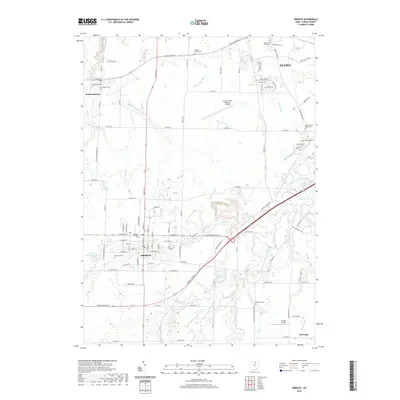
2019 Map of Oberlin
USGS Topo · Published 2019About this map
Oberlin College anchors the historic city of Oberlin in this modern survey of Lorain County, reflecting a landscape defined by collegiate architecture and a dense network of local cemeteries. The terrain is intricately drained by a system of man-made and natural waterways, including the West Branch Black River, Plum Creek, and several named ditches like Squires Schramm Ditch and Schroeder Ditch. This drainage pattern illustrates the careful management of the flat northern Ohio plain for both agricultural and municipal use.
Find a feature on this map
112 named features on this map. Tap any name to fly to it.
Don’t see what you’re looking for? This feature index may not catch every label — zoom into the map to look around manually.
Map Details
Editions of this 2019 Oberlin Map
This is the sole edition of this map. No revisions or reprints were ever made.
Other maps of this area

1901 · Oberlin
USGS Topo · 1:62,500

1903 · Vermilion
USGS Topo · 1:62,500

1903 · Oberlin
USGS Topo · 1:62,500

1904 · Wellington
USGS Topo · 1:62,500

1906 · Wellington
USGS Topo · 1:62,500

1908 · New London
USGS Topo · 1:62,500

1953 · Grafton
USGS Topo · 1:24,000

1953 · Avon
USGS Topo · 1:24,000

1956 · Toledo
USGS Topo · 1:250,000

1959 · Vermilion East
USGS Topo · 1:24,000