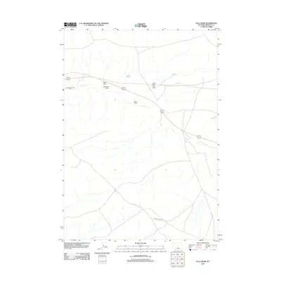
2012 Map of Ocla Draw
USGS Topo · Published 2012About this map
Robinson Shearing Pens anchors the western edge of this Fremont County landscape, representing the livestock industry that defines much of this high desert terrain. The drainage systems of Ocla Draw and its tributary, North Fork Ocla Draw, carve through the region, directing seasonal runoff toward Poison Cr. These ephemeral waterways are critical markers in an arid environment where water management is visible through features like Robinson Reservoir and Ocla Reservoir. A network of ranching infrastructure and local routes, including Davison Ranch Rd, connects the scattered landmarks. The map also traces the paths of Scott Draw and Robinson Draw, illustrating how the geography is segmented by these natural depressions. This 2012 survey captures the spatial relationship between pastoral history and the geological features of central Wyoming.
Find a feature on this map
9 named features on this map. Tap any name to fly to it.
Don’t see what you’re looking for? This feature index may not catch every label — zoom into the map to look around manually.
Map Details
Editions of this 2012 Ocla Draw Map
This is the sole edition of this map. No revisions or reprints were ever made.
Other maps of this area
1951 · Fuller Reservoir
USGS Topo · 1:24,000
1951 · Bonneville
USGS Topo · 1:24,000
1951 · Shoshoni
USGS Topo · 1:24,000
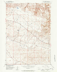
1952 · Squaw Butte NE
USGS Topo · 1:24,000
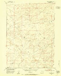
1952 · Squaw Butte
USGS Topo · 1:24,000
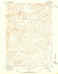
1952 · Ocla Draw
USGS Topo · 1:24,000
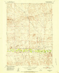
1952 · Gates Butte
USGS Topo · 1:24,000
1952 · Picard Ranch
USGS Topo · 1:24,000
1952 · Haybarn Hill
USGS Topo · 1:24,000

1955 · Thermopolis
USGS Topo · 1:250,000