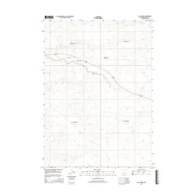
2015 Map of Ocla Draw
USGS Topo · Published 2015About this map
Poison Cr and the seasonal drainages of Ocla Draw define this arid landscape in Fremont County, showing a remote section of the Wyoming interior. The terrain is marked by a series of significant erosional features including Scott Draw, Robinson Draw, and the North Fork Ocla Draw. These landforms illustrate the drainage patterns of the high plains, where water is a scarce and defining resource. A solitary point of managed water, the Ocla Reservoir, sits on the eastern edge of the quadrangle. The map is bisected by the shared route of Highway 20 26, providing the primary transit corridor through this expanse of range land. The survey details the Public Land Survey System grid across Townships 37 and 38 North, documenting the underlying structure of land division in this sparsely populated region.
Find a feature on this map
11 named features on this map. Tap any name to fly to it.
Don’t see what you’re looking for? This feature index may not catch every label — zoom into the map to look around manually.
Map Details
Editions of this 2015 Ocla Draw Map
This is the sole edition of this map. No revisions or reprints were ever made.
Other maps of this area
1951 · Fuller Reservoir
USGS Topo · 1:24,000
1951 · Bonneville
USGS Topo · 1:24,000
1951 · Shoshoni
USGS Topo · 1:24,000
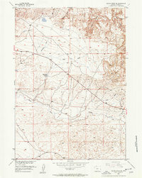
1952 · Squaw Butte NE
USGS Topo · 1:24,000
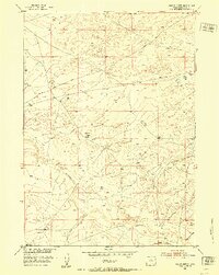
1952 · Squaw Butte
USGS Topo · 1:24,000
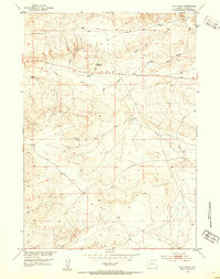
1952 · Ocla Draw
USGS Topo · 1:24,000
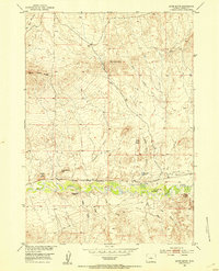
1952 · Gates Butte
USGS Topo · 1:24,000
1952 · Picard Ranch
USGS Topo · 1:24,000
1952 · Haybarn Hill
USGS Topo · 1:24,000

1955 · Thermopolis
USGS Topo · 1:250,000