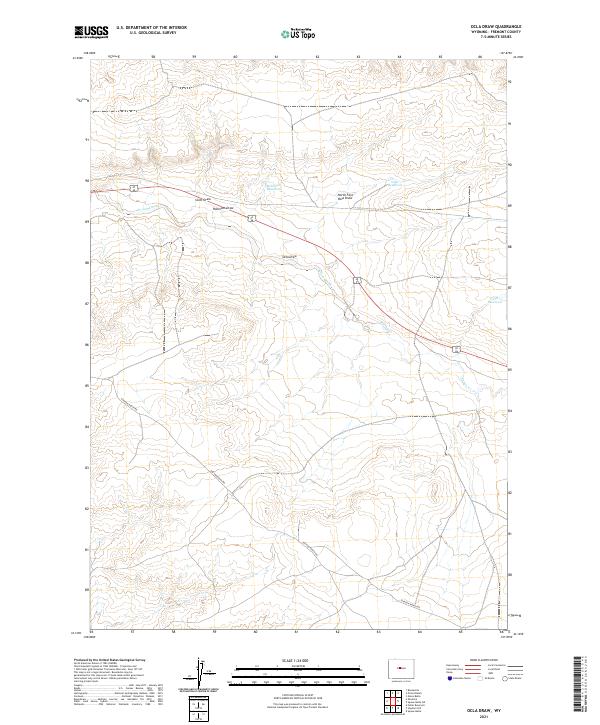
2021 Map of Ocla Draw
USGS Topo · Published 2021About this map
Davison Ranch Rd and Scott Dr navigate this stretch of Fremont County, marking the primary human infrastructure across a landscape defined by intermittent water management. The drainage patterns are anchored by Poison Creek, which cuts diagonally across the terrain alongside several smaller tributaries and draws. Robinson Reservoir and two separate locations labeled Ocla Reservoir serve as vital collection points in this arid environment, highlighting the region's reliance on water catchment for ranching and land use. The topography is further shaped by the namesake Ocla Draw and its North Fork Ocla Draw, illustrating the complex erosional features that characterize the high plains of central Wyoming.
Find a feature on this map
13 named features on this map. Tap any name to fly to it.
Don’t see what you’re looking for? This feature index may not catch every label — zoom into the map to look around manually.
Map Details
Editions of this 2021 Ocla Draw Map
This is the sole edition of this map. No revisions or reprints were ever made.
Other maps of this area

1951 · Fuller Reservoir
USGS Topo · 1:24,000

1951 · Bonneville
USGS Topo · 1:24,000

1951 · Shoshoni
USGS Topo · 1:24,000

1952 · Squaw Butte NE
USGS Topo · 1:24,000

1952 · Squaw Butte
USGS Topo · 1:24,000

1952 · Ocla Draw
USGS Topo · 1:24,000

1952 · Gates Butte
USGS Topo · 1:24,000

1952 · Picard Ranch
USGS Topo · 1:24,000

1952 · Haybarn Hill
USGS Topo · 1:24,000

1955 · Thermopolis
USGS Topo · 1:250,000