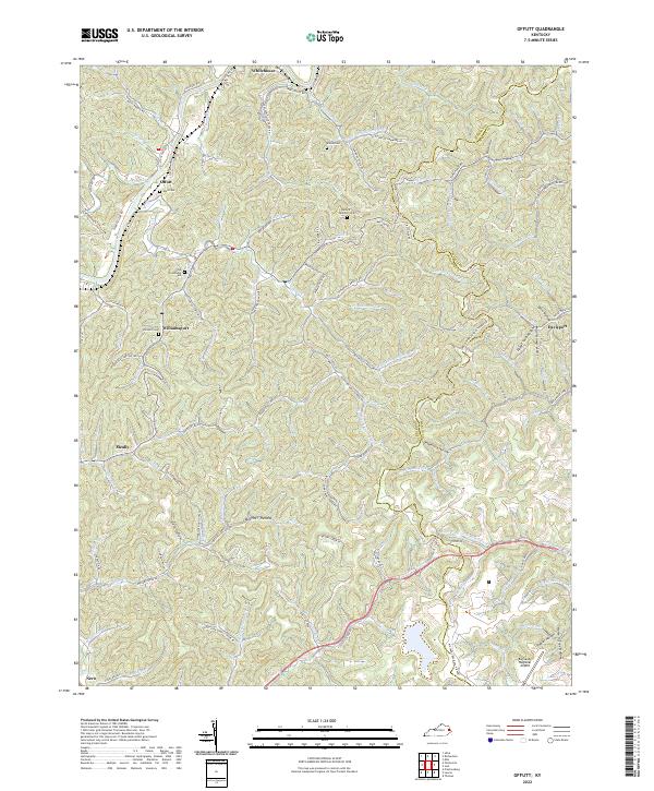
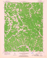
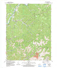
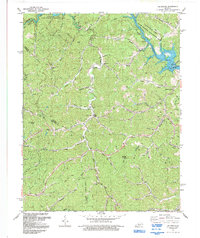
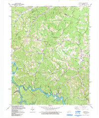
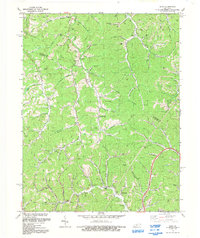
2022 Map of Offutt
USGS Topo · Published 2022About this map
The Levisa Fork winds through this rugged portion of Johnson and Martin Counties, anchoring a landscape of deep hollows and narrow ridgelines. The settlements of Whitehouse, Offutt, and Williamsport follow the river's path, while smaller communities like Davisport and Meally are tucked into the interior valleys. For family historians, the map is a dense record of lineage, preserving the locations of numerous family burial grounds including Old Friendship Cem, Ballard Butcher Cem, and the Ward Cem.
Find a feature on this map
127 named features on this map. Tap any name to fly to it.
Don’t see what you’re looking for? This feature index may not catch every label — zoom into the map to look around manually.
Map Details
Editions of this 2022 Offutt Map
This is the sole edition of this map. No revisions or reprints were ever made.
Historical Maps of Offutt Through Time
15 maps found
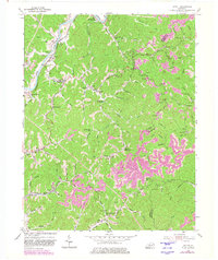
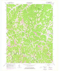
1954 Offutt
Johnson County, KY
1954 Oil Springs
Johnson County, KY
1954 Redbush
Johnson County, KY
1954 Sitka
Johnson County, KY
1962 Oil Springs
Johnson County, KY
1962 Redbush
Johnson County, KY
1971 Sitka
Johnson County, KY
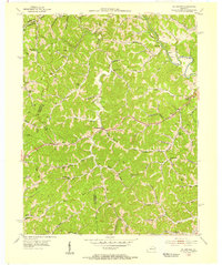
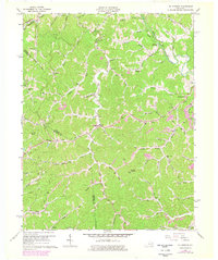
1992 Offutt
Johnson County, KY
1992 Oil Springs
Johnson County, KY
1992 Redbush
Johnson County, KY
1992 Sitka
Johnson County, KY
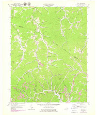
2022 Offutt
Johnson County, KY
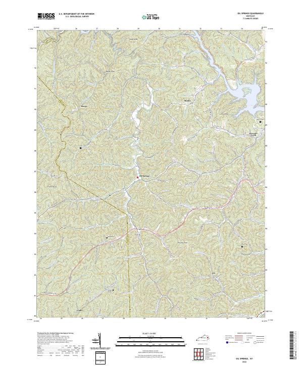
2022 Oil Springs
Johnson County, KY
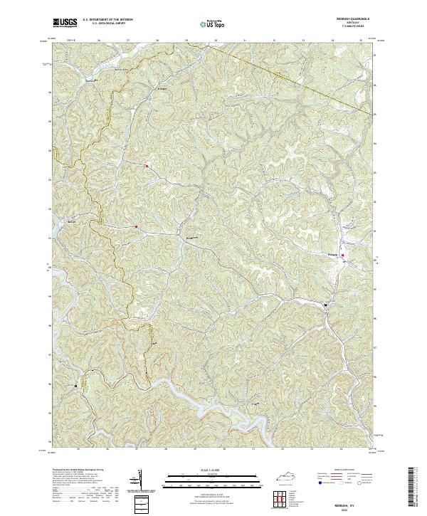
2022 Redbush
Johnson County, KY
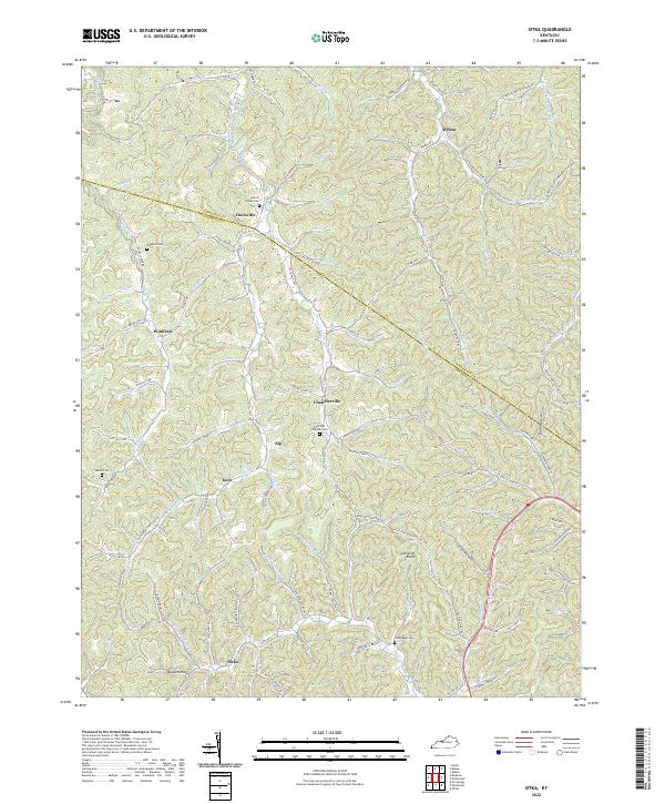
2022 Sitka
Johnson County, KY