
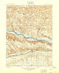
1900 Map of Ogallala
USGS Topo · Published 1900About this map
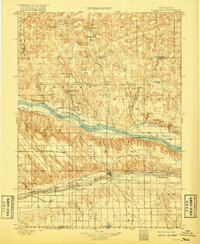
Ogalalla and the surrounding Platte Valley are defined by the convergence of major 19th-century transit corridors and early irrigation infrastructure. The Union Pacific R. R. follows the path of the South Platte River through Brule, while traces of the Old California Trail pass landmarks like California Hill. This landscape is transitioning into a cattle and agricultural hub, evidenced by numerous private holdings such as Kingsley's Ranch and Mannon's Ranch.
Find a feature on this map
50 named features on this map. Tap any name to fly to it.
Don’t see what you’re looking for? This feature index may not catch every label — zoom into the map to look around manually.
Map Details
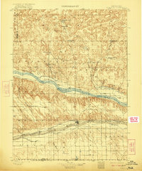
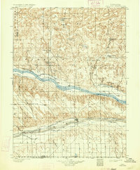
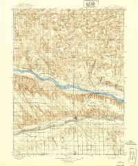
Editions of this 1900 Ogallala Map
6 editions found
Other maps of this area

1897 · Ogallala
USGS Topo · 1:125,000

1898 · Paxton
USGS Topo · 1:125,000

1900 · Chappell
USGS Topo · 1:125,000

1901 · Paxton
USGS Topo · 1:125,000

1949 · Arthur
USGS Topo · 1:62,500

1949 · Flats
USGS Topo · 1:62,500

1949 · Rackett
USGS Topo · 1:62,500

1950 · Flats
USGS Topo · 1:62,500

1950 · Velma
USGS Topo · 1:62,500

1950 · Arthur
USGS Topo · 1:62,500