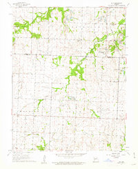
1961 Map of Ohio
USGS Topo · Published 1962About this map
Ohio sits at the heart of this landscape where agricultural tradition met a changing industrial reality in the early 1960s. The northern portion of the quadrangle is heavily marked by Strip Mine operations, particularly concentrated near Deepwater Cem and Dunning Cem. These excavations dominate the terrain around the St Louis San Francisco railroad corridor, illustrating the scale of resource extraction in this corner of the Missouri Ozarks.
Find a feature on this map
22 named features on this map. Tap any name to fly to it.
Don’t see what you’re looking for? This feature index may not catch every label — zoom into the map to look around manually.
Map Details
Editions of this 1961 Ohio Map
2 editions found
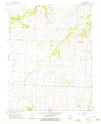
Other maps of this area

1887 · Clinton
USGS Topo · 1:125,000

1894 · Clinton
USGS Topo · 1:125,000

1938 · Monegaw Springs
USGS Topo · 1:24,000

1938 · Taberville
USGS Topo · 1:24,000

1939 · Osceola
USGS Topo · 1:24,000

1940 · Taberville
USGS Topo · 1:24,000

1940 · Osceola
USGS Topo · 1:24,000
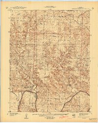
1940 · Monegaw Springs
USGS Topo · 1:24,000

1941 · Lowry City
USGS Topo · 1:24,000

1945 · Lowry City
USGS Topo · 1:24,000