
1924 Map of Oil City
USGS Topo · Published 1924About this map
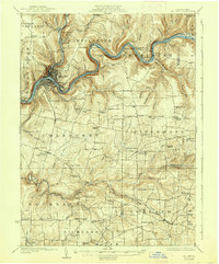
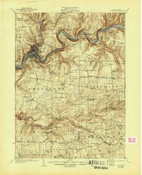
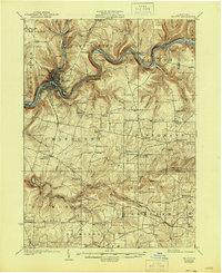
The Allegheny River meanders through the heart of Pennsylvania's oil region, defining a landscape of narrow valleys and high plateaus just after the first world war. This 1922 survey shows Oil City at its industrial peak, where the confluence of the river and Sugar Creek created a vital hub for petroleum refining and transport. The Pennsylvania Railroad and New York Central Railroad trace the riverbanks, serving a network of riverside communities like Siverly, Rouseville, and the remote Oleopolis.
Find a feature on this map
116 named features on this map. Tap any name to fly to it.
Don’t see what you’re looking for? This feature index may not catch every label — zoom into the map to look around manually.
Map Details
Editions of this 1924 Oil City Map
4 editions found
Other maps of this area

1906 · Clarion
USGS Topo · 1:62,500

1907 · Clarion
USGS Topo · 1:62,500

1907 · Foxburg
USGS Topo · 1:62,500

1908 · Foxburg
USGS Topo · 1:62,500

1909 · Franklin
USGS Topo · 1:62,500

1910 · Hilliards
USGS Topo · 1:62,500

1911 · Franklin
USGS Topo · 1:62,500

1912 · Hilliards
USGS Topo · 1:62,500

1922 · Oil City
USGS Topo · 1:48,000

1922 · Tionesta
USGS Topo · 1:62,500